Stake attention in this memory
historical
educational
informative
documentary
archival
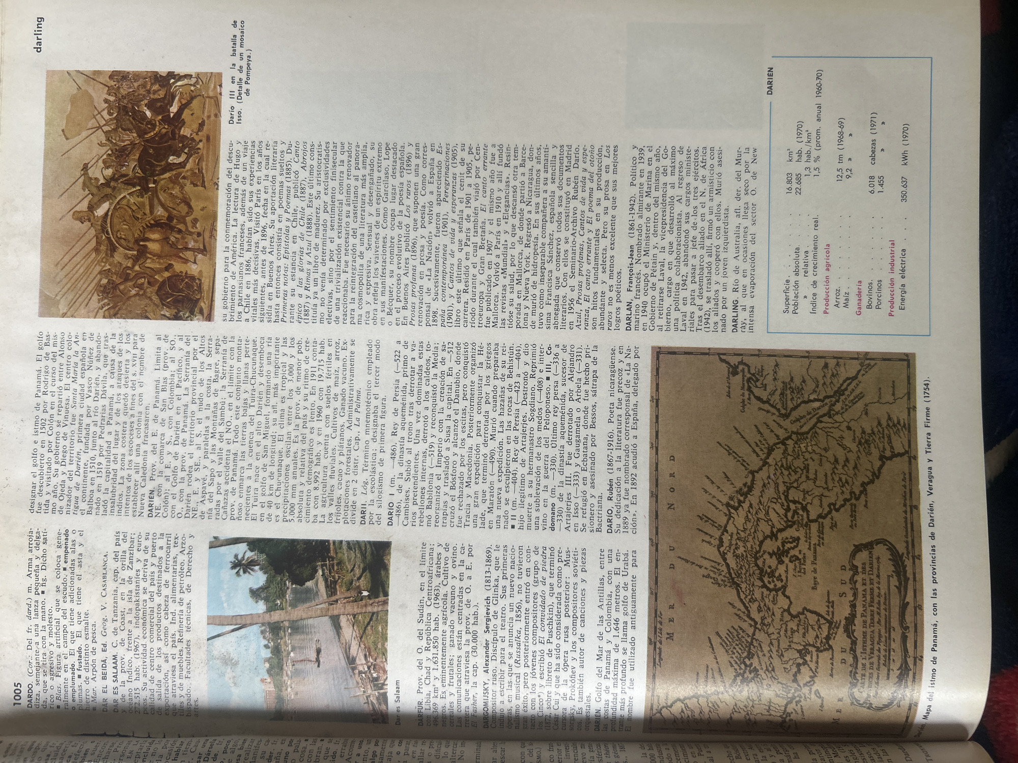
The image is a scanned page from an encyclopedia, featuring a historical illustration, a map, and text entries. The illustration on the right depicts a chaotic battle scene with soldiers on horseback and foot, some falling, and a chariot. The text entries are in Spanish, with one in English labeled "DARLING". Below the illustration and to the left is a map titled "CARTE DE L'ISTHME DE PANAMA ET DES PROVINCES DE VERAGUA TERRE FERME ET DARIEN" which is a map of the Isthmus of Panama, with the provinces of Darién, Veragua, and Tierra Firme, dated 1754. There is also a table with demographic and agricultural data for DARIEN. The city of Santa Ana, Venezuela is not mentioned in the image.
transactions
revenues
stakers
Earliest
Latest
Highest stake
No transactions found