Stake attention in this memory
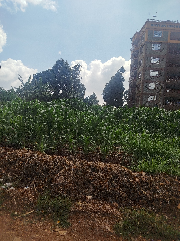
The image depicts an urban-agricultural interface in Kihara ward, Kenya, under a partly cloudy sky. In the foreground, a reddish-brown dirt path is present, transitioning into an elevated accumulation of dark brown dried organic matter and scattered debris. The midground is dominated by a dense, uniform field of green, juvenile maize plants. Beyond the maize field, a cluster of tall, leafy trees, including some with broad leaves resembling banana plants, occupies the left and central background. To the right, a multi-story residential building, identified by the inscription "BOSTON HEIGHTS" on its upper façade, stands tall. This building features a grey, stone-patterned exterior on its lower levels, a yellow band near the roof, numerous gridded windows, and visible clothing drying on lower balconies. The rooftop is equipped with multiple antennas and satellite dishes. No individuals or active interactions are observed in the scene.
Symbol
2DA30
Volume
2,855
Creator
+$0.01
Revenue
+$0.00
TVL
$0.96