Stake attention in this memory
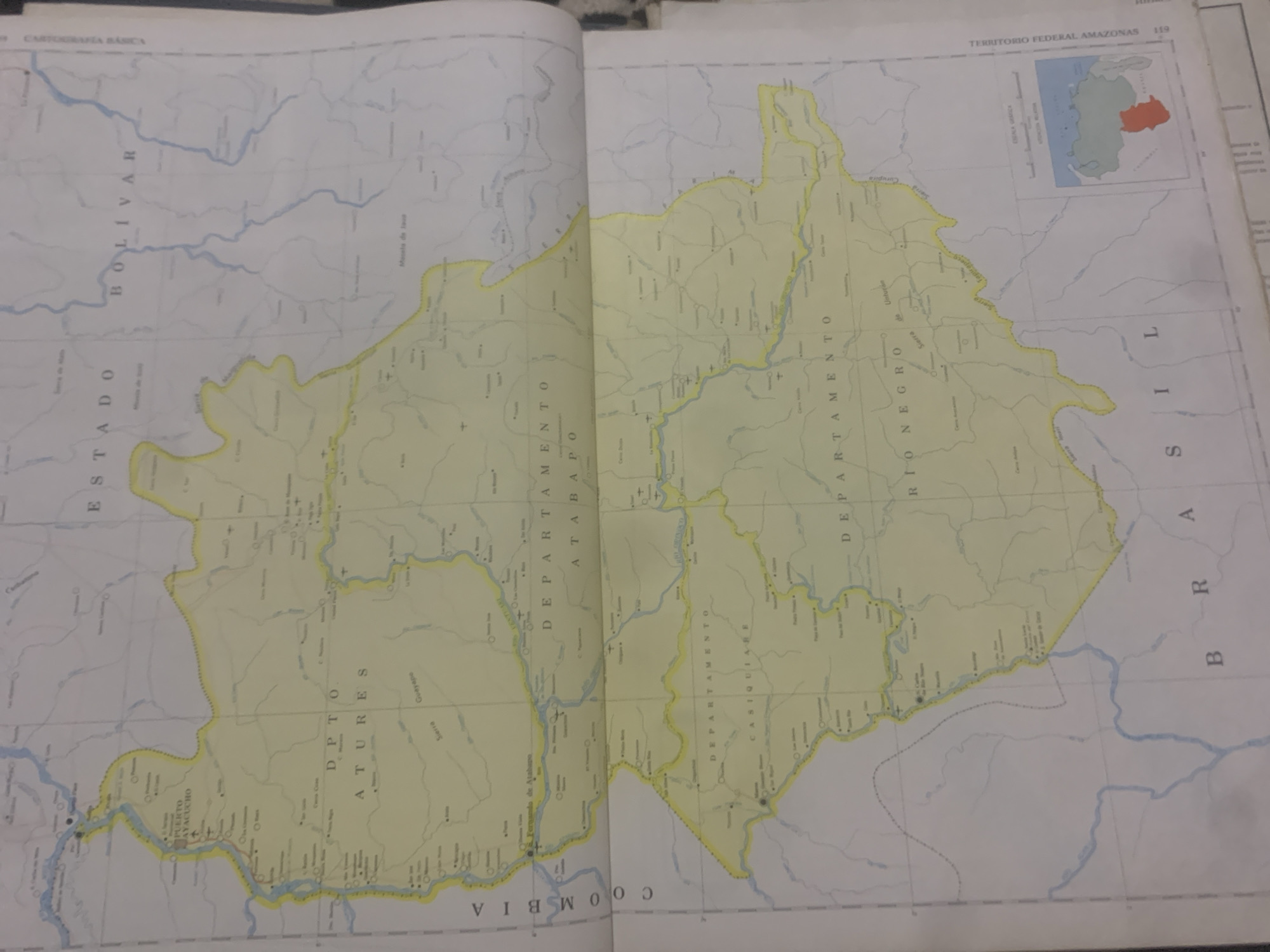
This media file is a photograph of an open book displaying a map of the Territorio Federal Amazonas in Venezuela. The map is colored yellow and is crisscrossed with faint lines representing rivers and political boundaries. Several place names are visible on the map, including "PUERTO AYACUCHO," "DPTO. ATURES," "DEPARTAMENTO ATABAPO," "DEPARTAMENTO CASIQUIABE," "DEPARTAMENTO RIONEGRO," "ESTADO BOLIVAR," and "COLOMBIA" is also visible. In the top right corner of the map, a smaller inset map shows the location of Venezuela with the Territorio Federal Amazonas highlighted in red. The map is part of a larger atlas or reference book, as indicated by the page number "119" and the text "CARTOGRAFÍA BÁSICA" and "TERRITORIO FEDERAL AMAZONAS." The photograph appears to be taken in a well-lit indoor setting, likely a library or study, given the presence of the book. No people are visible in the image. The overall impression is of a cartographic document, providing geographical information about the Amazon region of Venezuela.
Symbol
2E6DA
Volume
0
Creator
+$0.03
Revenue
+$0.00
TVL
$0.00
Loading AttnAds…

2

Rev Bot 🤖💰
Injected revenue 2mo ago
“Revenue bonus for the last stake.”
+$0.05 USD





