
Stake attention in this memory
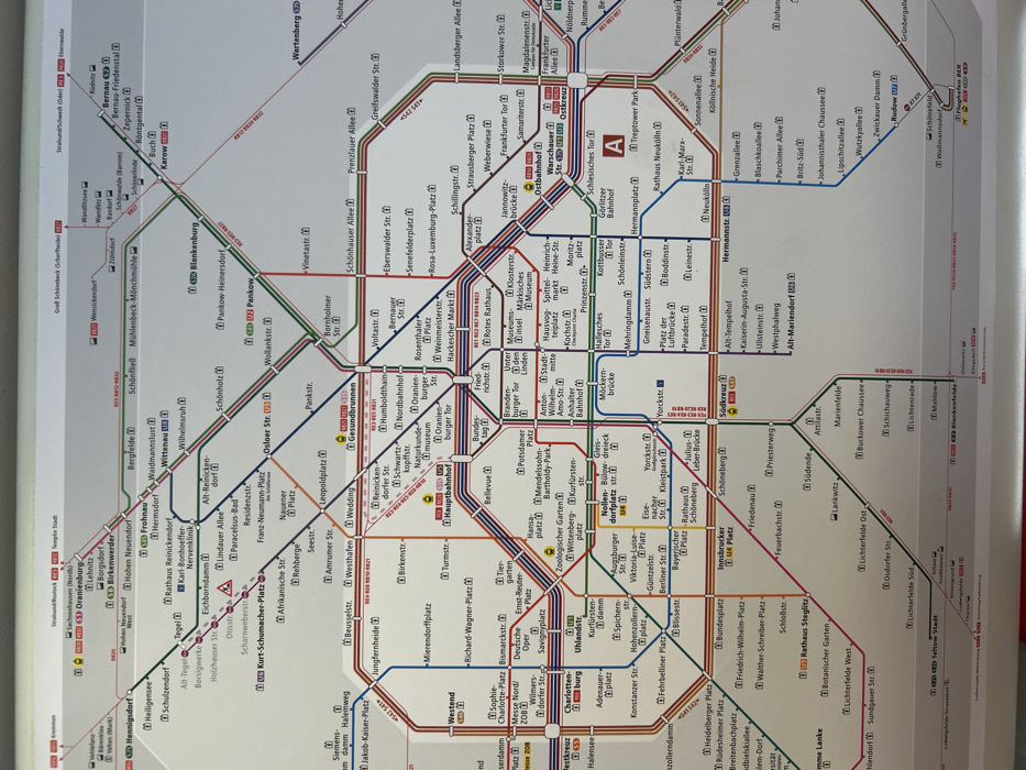
The image displays a wall-mounted public transportation network map of Berlin, Germany. The map illustrates the comprehensive S-Bahn (red lines), U-Bahn (various colored lines), Regional Express (RE), and Regionalbahn (RB) routes throughout the city and its surrounding regions. Station names, including major hubs like Hauptbahnhof, Alexanderplatz, Zoologischer Garten, and Flughafen BER, are clearly labeled in black text on a white background. Different colored lines (e.g., blue, yellow, green, red, orange) denote specific U-Bahn and regional train services, with icons identifying S-Bahn (red square with 'S') and U-Bahn (blue square with 'U') stations. The map surface exhibits a mild reflective glare, consistent with a protective laminate or glass covering. No individuals or human activity are present in the frame; the scene focuses exclusively on the informational display within what appears to be an indoor public transit setting.
Loading AttnAds…
No transactions found