Stake attention in this memory
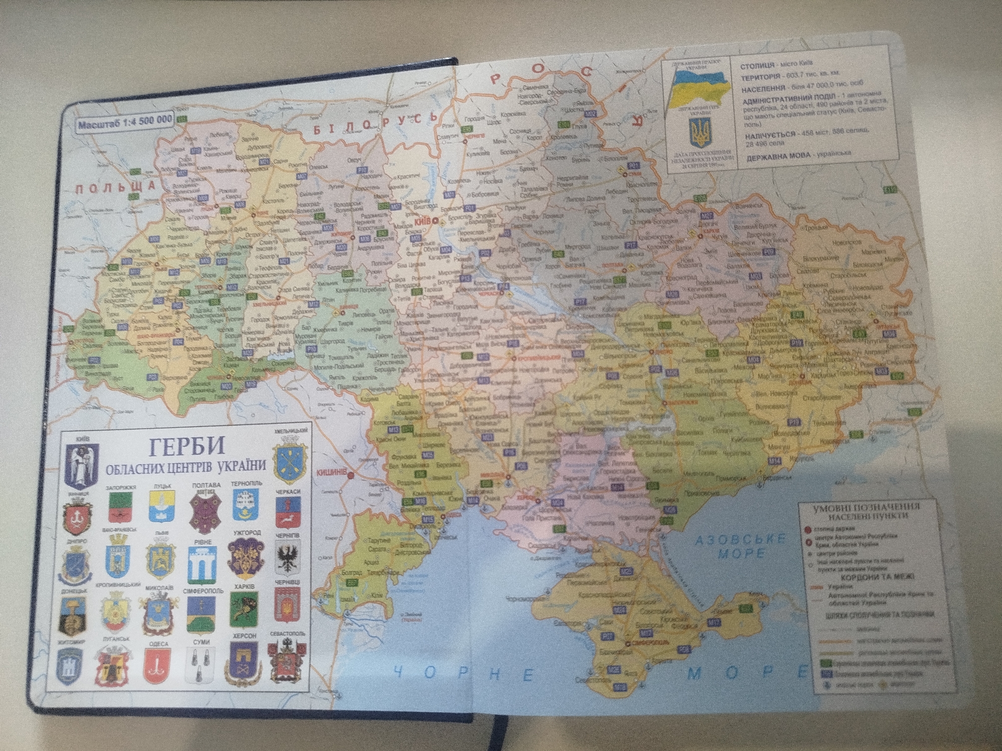
This media file is a photograph of an open book displaying a map of Ukraine. The map is detailed and colorful, showing cities, towns, bodies of water, and road networks. In the upper right corner of the map, there is a legend with text in Ukrainian, detailing information about the capital city, population, administrative divisions, and national language. Below this legend, there are symbols and descriptions of Ukrainian regions. On the left side of the map, there is a section with the heading "ГЕРБИ ОБЛАСНИХ ЦЕНТРІВ УКРАЇНИ" (Coats of Arms of Regional Centers of Ukraine), which features the coats of arms of various Ukrainian cities, each labeled with its name in Ukrainian. The map itself is the primary subject, with its intricate details of geographical features and administrative divisions. The overall scene is that of a book open to a map, suggesting a context of learning, navigation, or reference. Visible text includes "Масштаб 1:4 500 000" (Scale 1:4,500,000), "ПОЛЬЩА" (Poland), "БІЛОРУСЬ" (Belarus), "КРАЇНИ" (Countries), "КРЕМЕНЧУК" (Kremenchuk), "КИЇВ" (Kyiv), "ЧОРНЕ МОРЕ" (Black Sea), "АЗОВСЬКЕ МОРЕ" (Sea of Azov), and various city and region names in Ukrainian. The coats of arms also contain symbolic imagery. The photograph is well-lit, with no indication of weather conditions or time of day. The focus is on the map itself, implying a factual and informative presentation.
Symbol
2EDCA
Volume
3,607
Creator
+$0.00
Revenue
+$0.00
TVL
$2.71