Stake attention in this memory
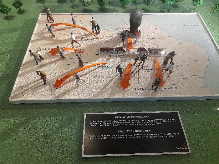
A tabletop model depicting a train station evacuation route in Surabaya, Indonesia. The model sits on a wooden platform with a grassy backdrop, and is surrounded by a white border. The model depicts a map of Surabaya, Indonesia, with small miniature figures of people walking in various directions along orange arrows that indicate evacuation routes. The train station is in the upper center of the map, with a miniature train and thick black smoke rising from it. The words "KAI, PT. KAI, SURABAYA" are on the map, in the bottom center. A small sign below the model reads "PETA JALUR PENGUNGSIAN EVACUATION ROUTE MAP" and further explains the evacuation routes. The map is oriented with North at the top. The coordinates -7.245, 112.738 are located near the Surabaya Train Station in Surabaya, Indonesia.
Loading AttnAds…
No transactions found