Stake attention in this memory
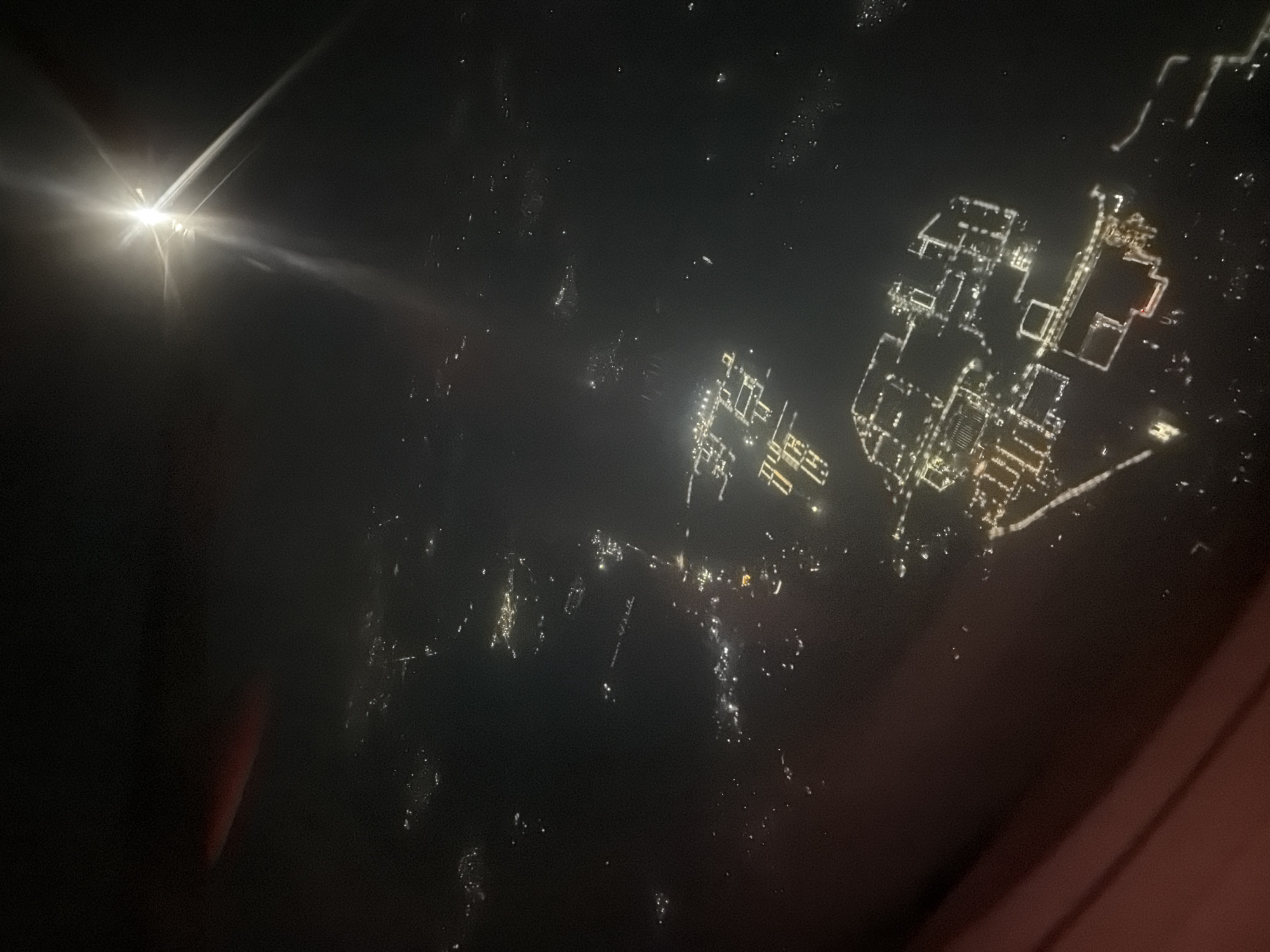
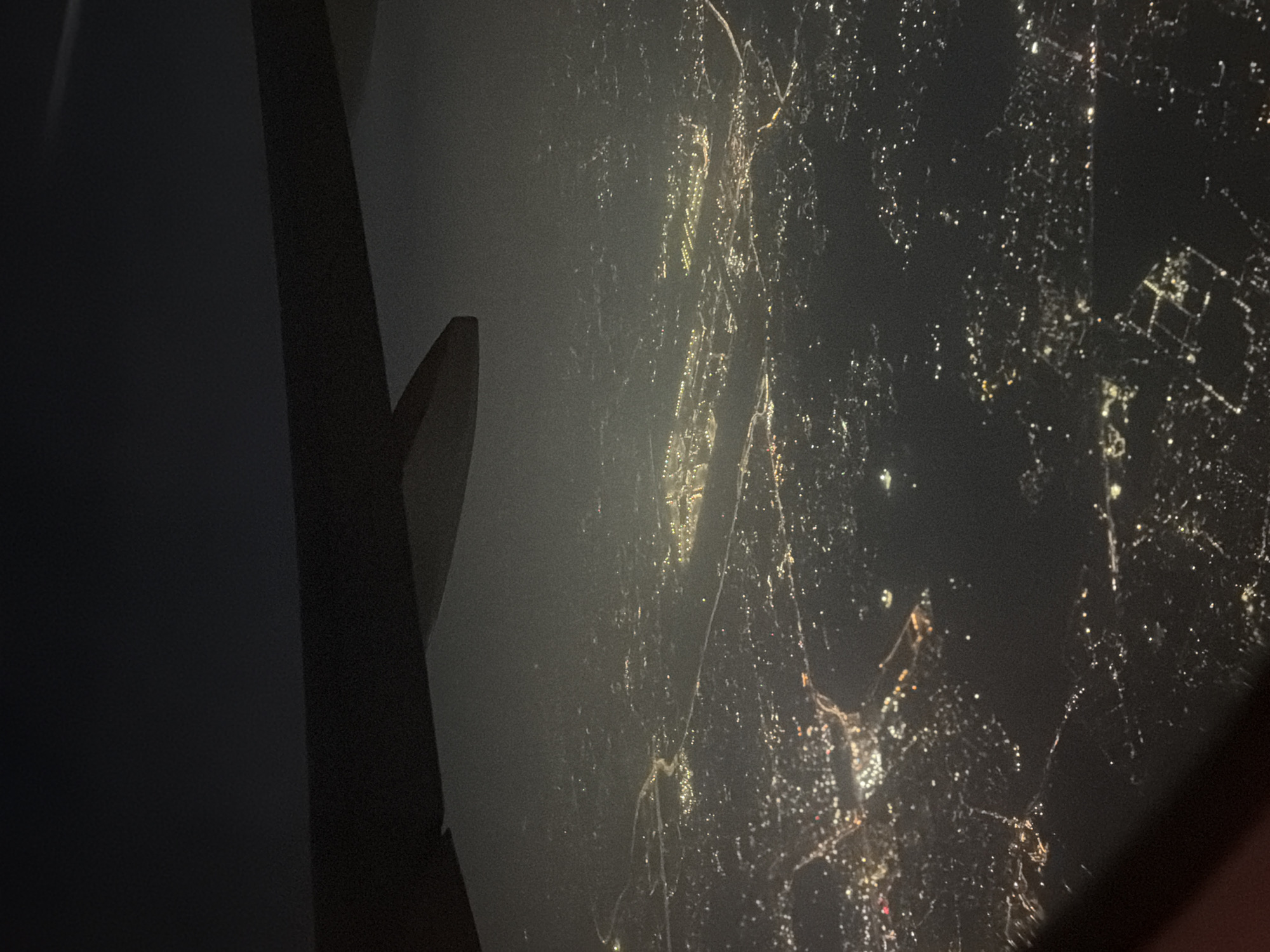
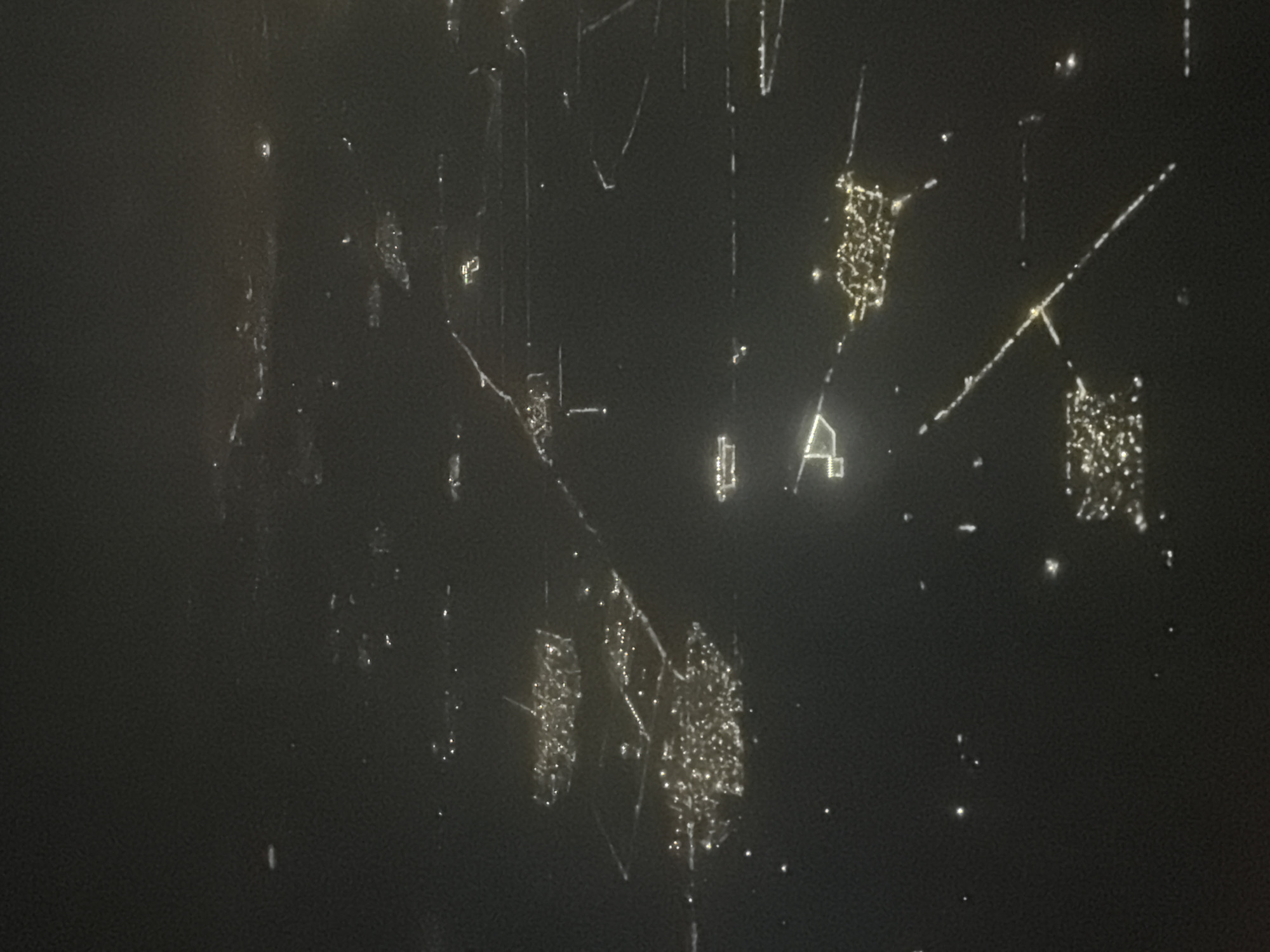
This aerial nighttime photograph displays a sprawling urban landscape characterized by an extensive network of artificial lights. The lights form clusters and linear patterns, suggesting the presence of residential areas, industrial zones, and transportation infrastructure. A prominent feature of the image is a series of well-defined geometric shapes outlined by lights, which could indicate buildings, industrial complexes, or perhaps even agricultural fields illuminated for specific purposes. Long, straight lines of light suggest roadways or perhaps canals. The overall impression is of a densely populated and active metropolitan area seen from a high altitude. Specifically within the city of Gurgaon, India, this image captures sections of the urban sprawl where development is characterized by large, illuminated industrial or commercial parks, likely featuring extensive lighting for security and operational purposes. The geometric formations suggest the presence of the large, planned industrial estates and business parks that are characteristic of Gurgaon's development, such as those found in the Udyog Vihar or IMT Manesar areas. The presence of dispersed clusters of lights could represent residential sectors or smaller commercial hubs interspersed within these larger zones. The straight, illuminated lines are likely major arterial roads connecting these different areas, such as NH48 or other key infrastructure corridors within Gurgaon.
No transactions found