Stake attention in this memory
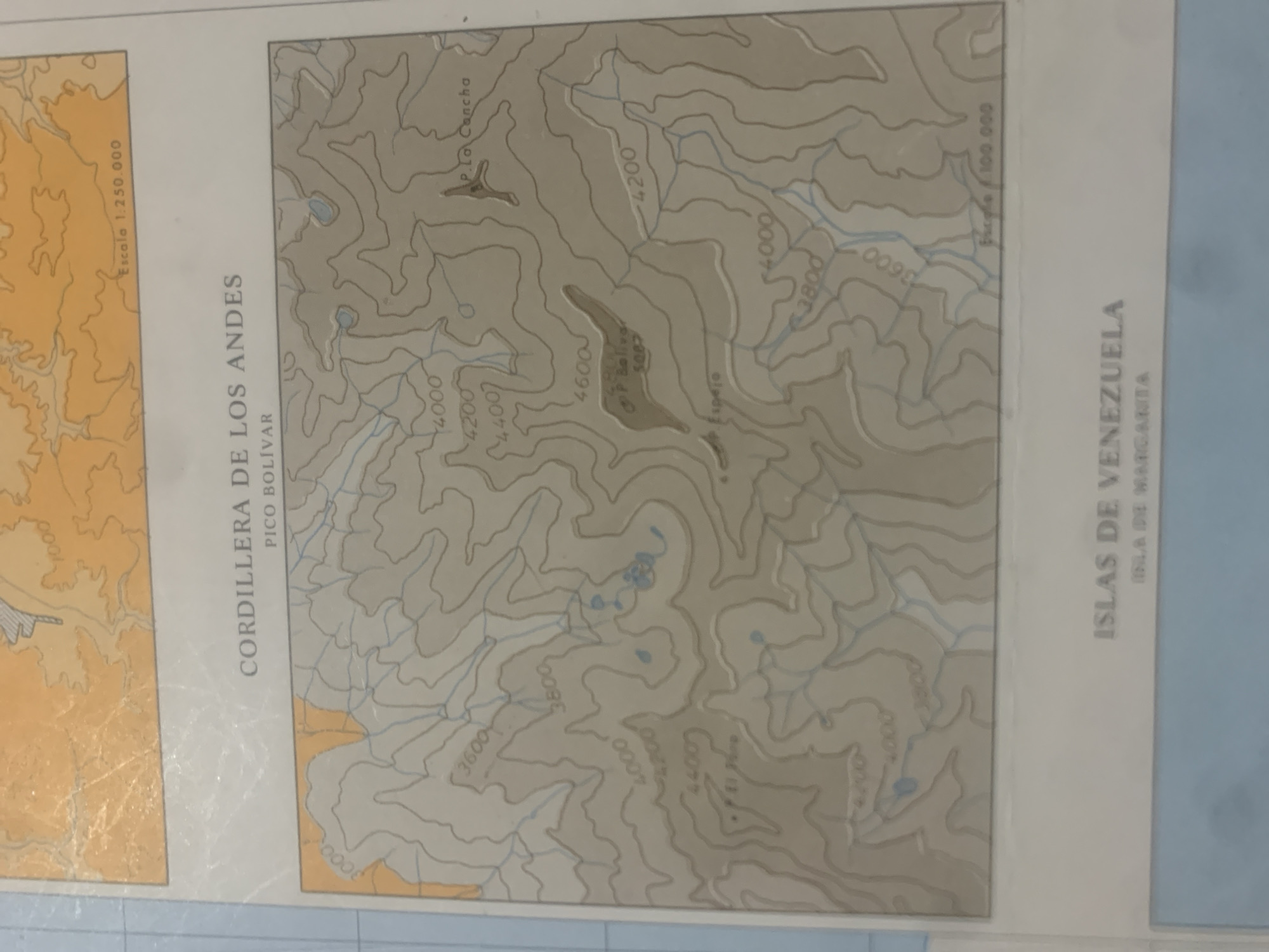
This is a close-up, slightly angled shot of a map showing topographical details of mountainous regions in Venezuela. The map is divided into sections, with prominent text indicating "CORDILLERA DE LOS ANDES" and "PICO BOLÍVAR" on the left side, suggesting this is a map of a significant mountain range and its highest peak. The contour lines, colored in gray and light brown, illustrate the elevation changes of the terrain, with some areas appearing to be lakes or bodies of water depicted in blue. Specific elevation markers are visible, such as "4600", "4200", "4000", "3800", and "3600", indicating meters above sea level. A label "P. La Cancha" is also present, likely referring to a specific location within the depicted area. The map also includes scale information, with "Escala 1:250.000" and "Escala 100.000" clearly legible on different sections, indicating the reduction ratio of the map to the actual landscape. On the right side of the map, text reads "ISLAS DE VENEZUELA" and "INSLA DE MARGARITA", suggesting that the map also includes information about Venezuelan islands. The overall color palette is muted, with the map laid out on a white background and bordered by a light blue area on the far right. The image is not of a real-world scene but rather a representation of geographical data. There are no people, animals, or any indication of time of day or weather conditions. The focus is purely on the cartographical information presented.
Symbol
30EF7
Volume
0
Creator
+$0.03
Revenue
+$0.00
TVL
$0.00
Loading AttnAds…

2

Rev Bot 🤖💰
Injected revenue 2mo ago
“Revenue bonus for the last stake.”
+$0.06 USD





