Stake attention in this memory
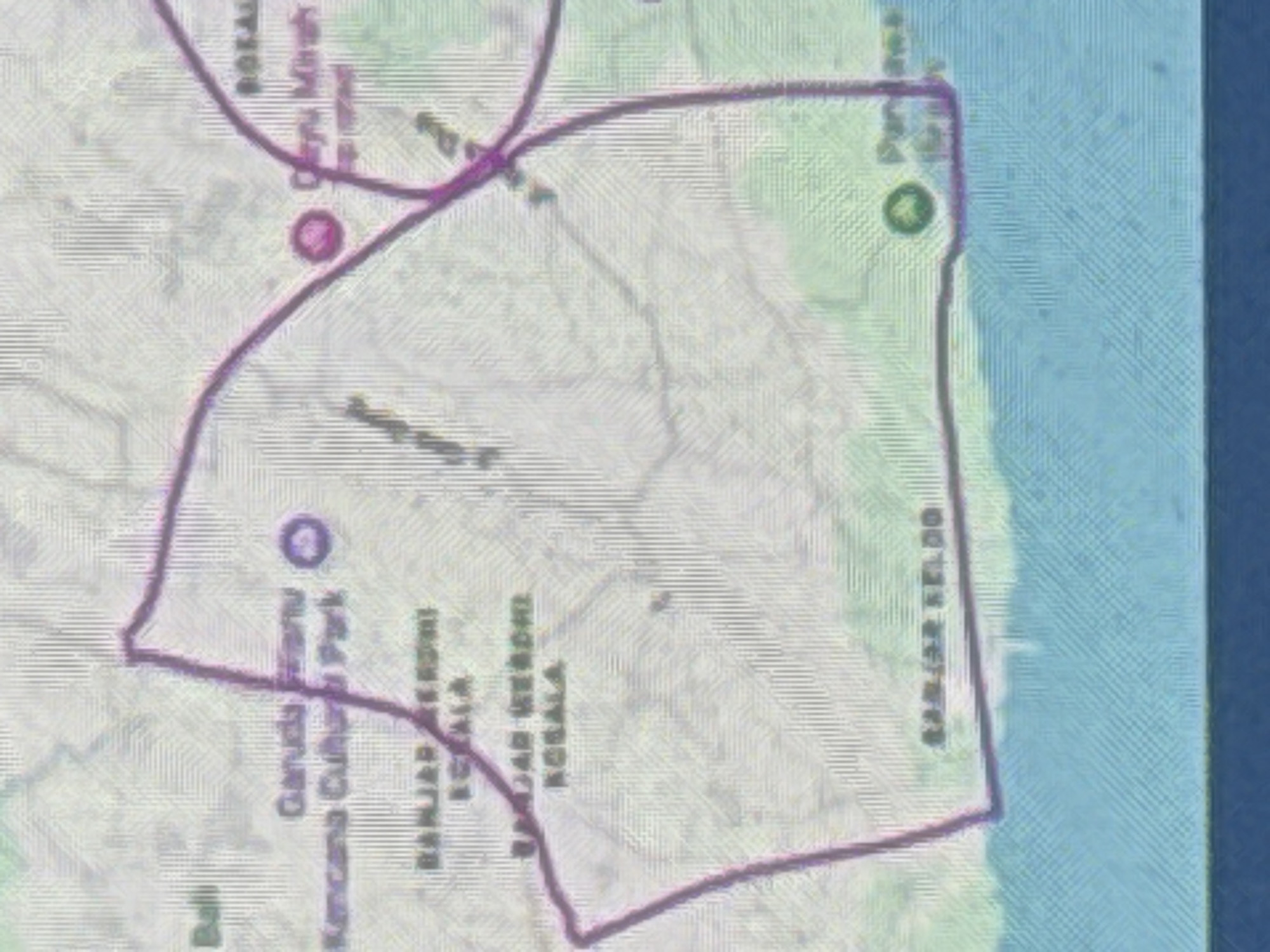
This media file is a low-resolution, pixelated map of a coastal area in North Kuta, Indonesia. The map displays a section of land bordered by a body of water, likely the ocean, on the right side. A purple line delineates a specific area on the map, possibly a park or a protected zone. Several place names are visible, though some are partially obscured or difficult to read due to the image quality. Text includes "Garuda Wisnu Kencana Cultural Park," and another label appears to be "BANJAR KEBONG KECALA." Further along the coast, "BANJAR KELOD" is legible. The map includes icons that may represent points of interest, such as a circular icon with a dot inside, possibly indicating a landmark or facility. The overall scene depicts a geographical layout with labeled areas, suggesting it's used for navigation or informational purposes regarding local attractions and boundaries. There are no people or specific activities depicted, only the static representation of a landscape and its features. The lighting and weather are not discernible from the map itself.
Symbol
31015
Volume
3,412
Creator
+$0.03
Revenue
+$0.05
TVL
$2.15
2
Rev Bot 🤖💰
Injected revenue 2h ago
“Revenue bonus for the last stake.”
+$0.06 USD