Stake attention in this memory
curiosity
exploration
wonder
learning
adventure
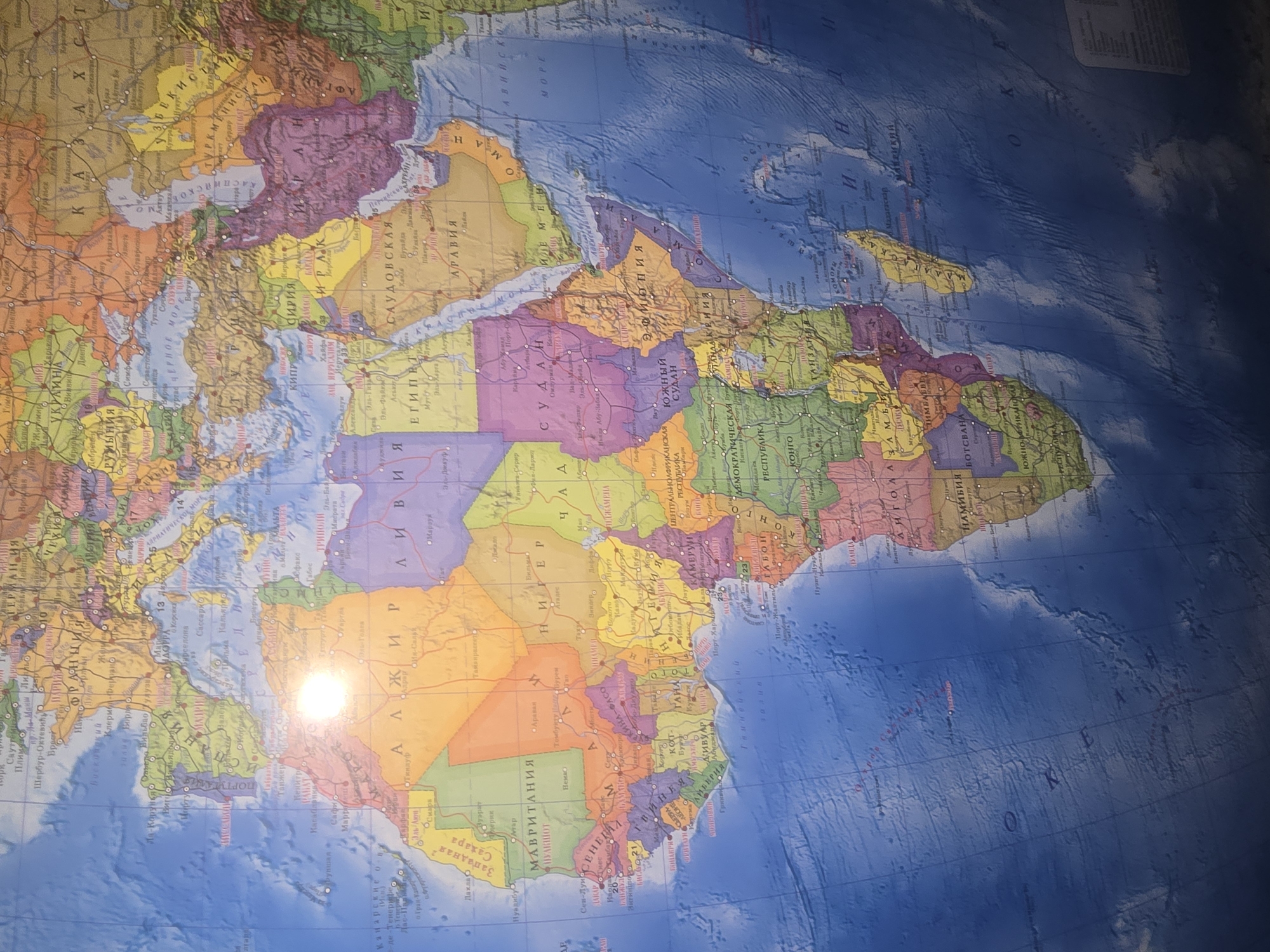
This is a high-angle, full shot of a large, colored political map of the world, likely mounted on a wall or a globe. The map displays continents, countries, major cities, and bodies of water. The dominant continents visible are Africa, Europe, and parts of Asia and the Middle East. The map is illuminated by a bright, diffused light source that creates a significant glare in the upper left portion of the image, obscuring some details in that area. The map features country names and cities in Russian. There are no people, objects, or actions depicted outside of the map itself. The location in Ulan-Ude, Russia is not discernible from the image content.
Loading AttnAds…
transactions
revenues
stakers
Earliest
Latest
Highest stake
No transactions found