Stake attention in this memory
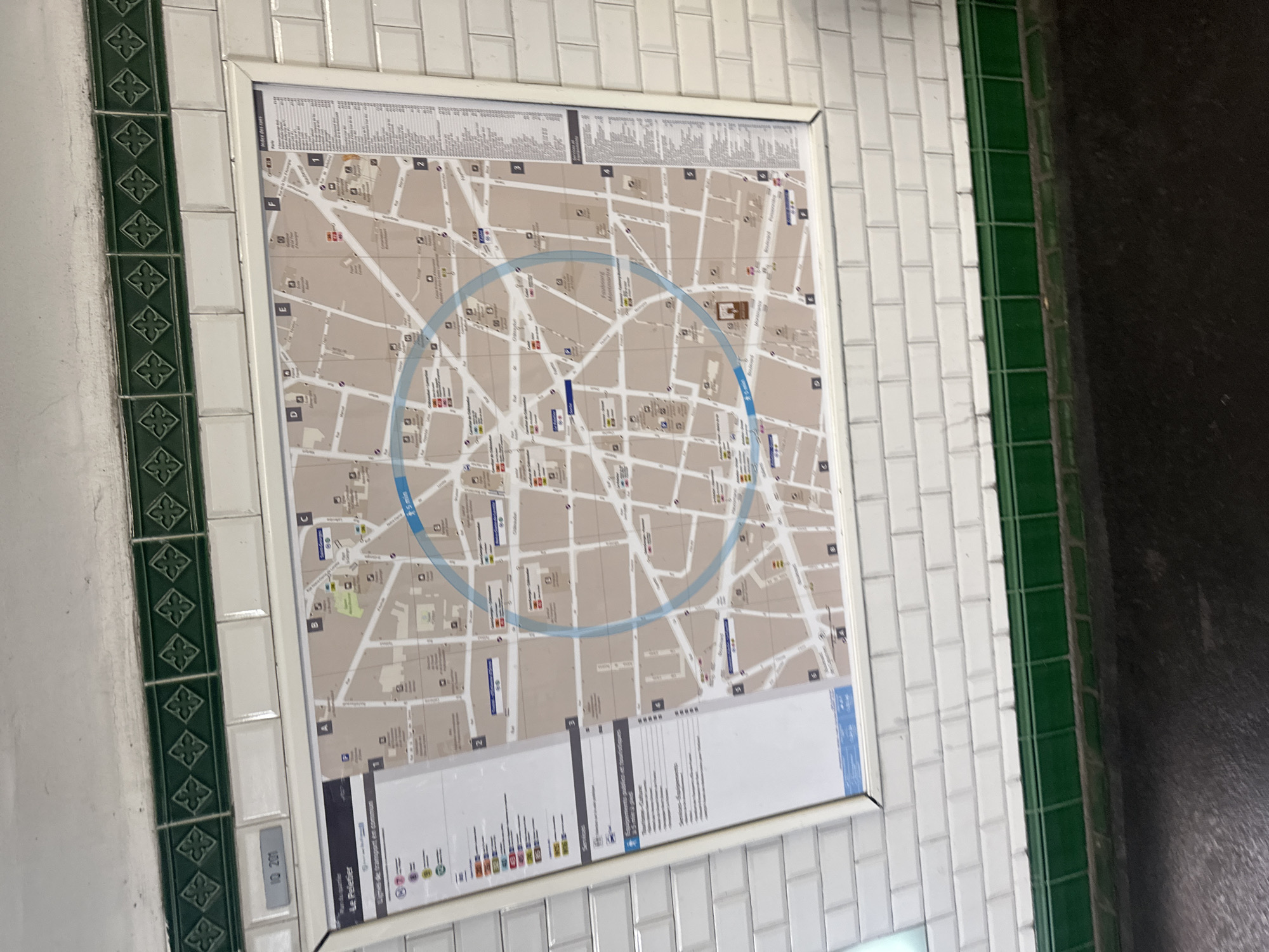
The image captures a public information map displayed on a tiled wall, likely within a Paris Metro station. The primary subject is a large, framed street map of a local area, presented in a neutral beige and white palette with light blue overlays. The map shows a dense network of streets, some with legible names such as "Foulbourg Montmartre," "Saint-Georges," and "Rue La Fayette." Building outlines and various small icons, possibly indicating points of interest or services, are also visible. A prominent light blue circle with "5 min" nearby suggests a walking radius. The map is overlaid with a grid marked by letters (e.g., F, E, D) and numbers (e.g., 1, 2, 3, 4, 5). At the top, a section titled "Index des rues" lists street names. The bottom portion includes a legend with "Lignes de transport en commun" (Public transport lines) and is titled "Plan du quartier Le Peletier," identifying the specific neighborhood. Several blue rectangular markers on the map likely denote metro stations or transport stops. The map is mounted on a wall covered in classic white rectangular subway tiles. Flanking the map are two vertical strips of green tiles. The left strip features dark green tiles with a repeating decorative pattern resembling a quatrefoil or cross. A small white tile below this strip displays the number "10 200." The right strip consists of plain, dark green rectangular tiles. To the far right, a dark, textured surface, possibly a floor or another wall, is visible. No people or active events are depicted; the scene implies a functional public space for navigation.
Symbol
3251E
Volume
2,839
Creator
+$0.01
Revenue
+$0.03
TVL
$1.11
2
Rev Bot 🤖💰
Injected revenue 24d ago
“Revenue bonus for the last stake.”
+$0.03 USD