Stake attention in this memory
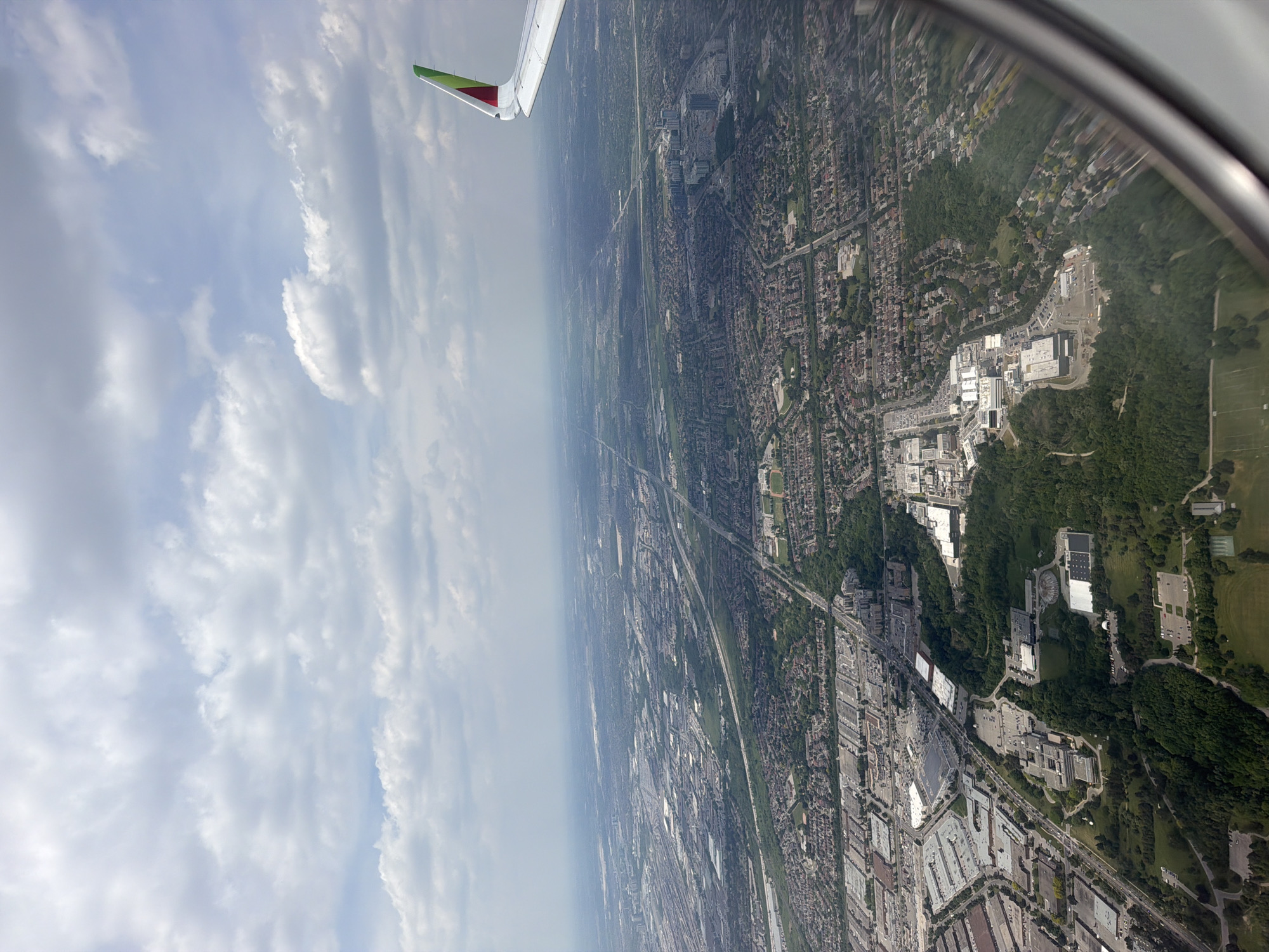
This is an aerial photograph captured from an airplane window, showcasing a vast urban landscape under a partly cloudy sky. A portion of the airplane's right wing, featuring a winglet with green, red, and yellow livery, is visible along the right edge and corner of the frame. The image depicts a sprawling section of **North York, Toronto, Canada**, specifically centered around the area of the **Ontario Science Centre**. In the lower-middle and foreground of the image, the distinctive complex of the **Ontario Science Centre** is clearly identifiable, including its notable circular structure, surrounded by significant green spaces and wooded ravines. Looking further into the urban expanse, major arterial roads and highways crisscross the landscape. **Don Mills Road** is a prominent thoroughfare running diagonally from the mid-left towards the upper-right. To the east (right side) and slightly north of the Ontario Science Centre, the large retail complex of **Fairview Mall** is visible, marked by its extensive parking lots and multiple buildings. Further in the distance, towards the north (upper part of the image), sections of **Highway 401** and to the east, the **Don Valley Parkway (DVP) / Highway 404** are discernible, though somewhat obscured by atmospheric haze. The urban environment consists of a dense mix of residential areas with numerous detached homes and some multi-story buildings, interspersed with commercial and industrial zones characterized by large buildings and associated parking lots. Green spaces, including parks and tree-lined ravines, are integrated throughout the urban fabric, providing natural corridors. No specific individuals, actions, or interactions are discernible from this aerial vantage point.
No transactions found