
Stake attention in this memory
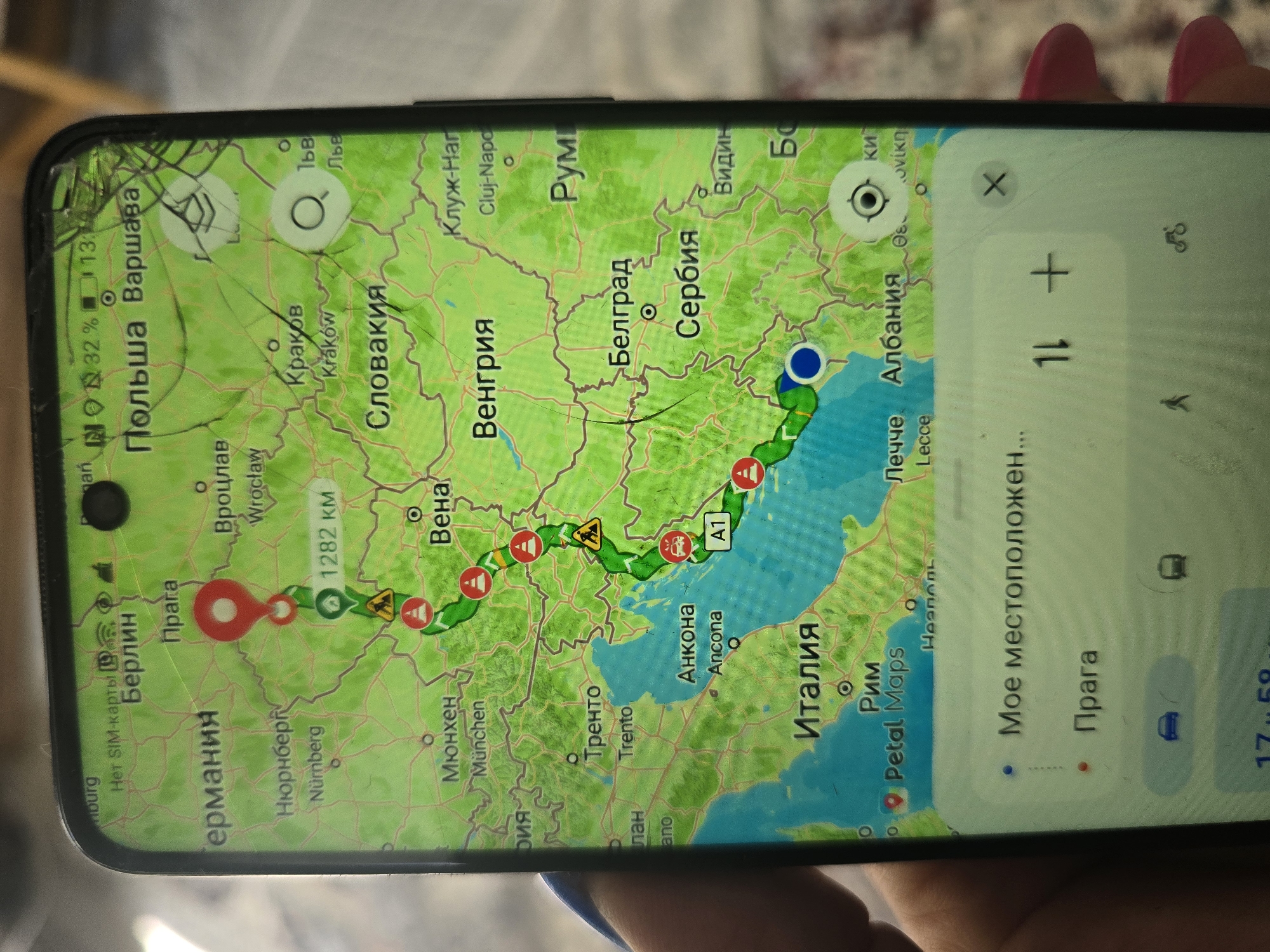
The image shows a smartphone screen displaying a navigation application, likely Google Maps or a similar service, with a route plotted across Europe. The route starts in Germany, goes through the Czech Republic (Prague), Poland, Slovakia, Hungary, Serbia, and ends in Italy. Notable cities marked on the map include Berlin, Prague, Warsaw, Krakow, Bratislava, Budapest, Belgrade, Rome, and Ancona. The map interface is in Russian and English, with some Cyrillic text. The phone is held by a hand with red nail polish, and the screen has several cracks. The top of the phone shows signal strength, battery level, and time. A white overlay at the bottom of the screen displays "My location..." and "Prague," suggesting the current or a destination location. Transportation icons for car, public transport, walking, and cycling are visible. The overall context is a journey being planned or tracked on a mobile device.
Loading AttnAds…
No transactions found