Stake attention in this memory
anticipation
hope
focus
uncertainty
calm
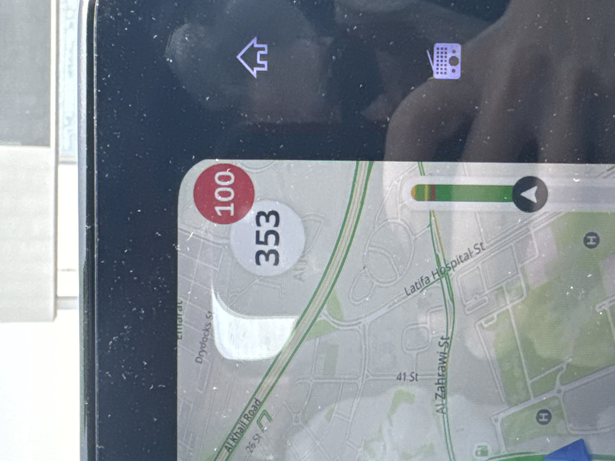
The image shows a navigation screen, likely from a car or phone. The screen displays a map showing the location around Latifa Hospital Street in Dubai, United Arab Emirates. Key roads visible include Al Khail Road and Drydocks Street. The navigation shows a speed limit of 100 in a red circle and "353". A visual indicator shows some traffic density. There are also navigation icons visible, like a house and radio. The screen has some dust and fingerprints.
Loading AttnAds…
transactions
revenues
stakers
Earliest
Latest
Highest stake
No transactions found