Sign in
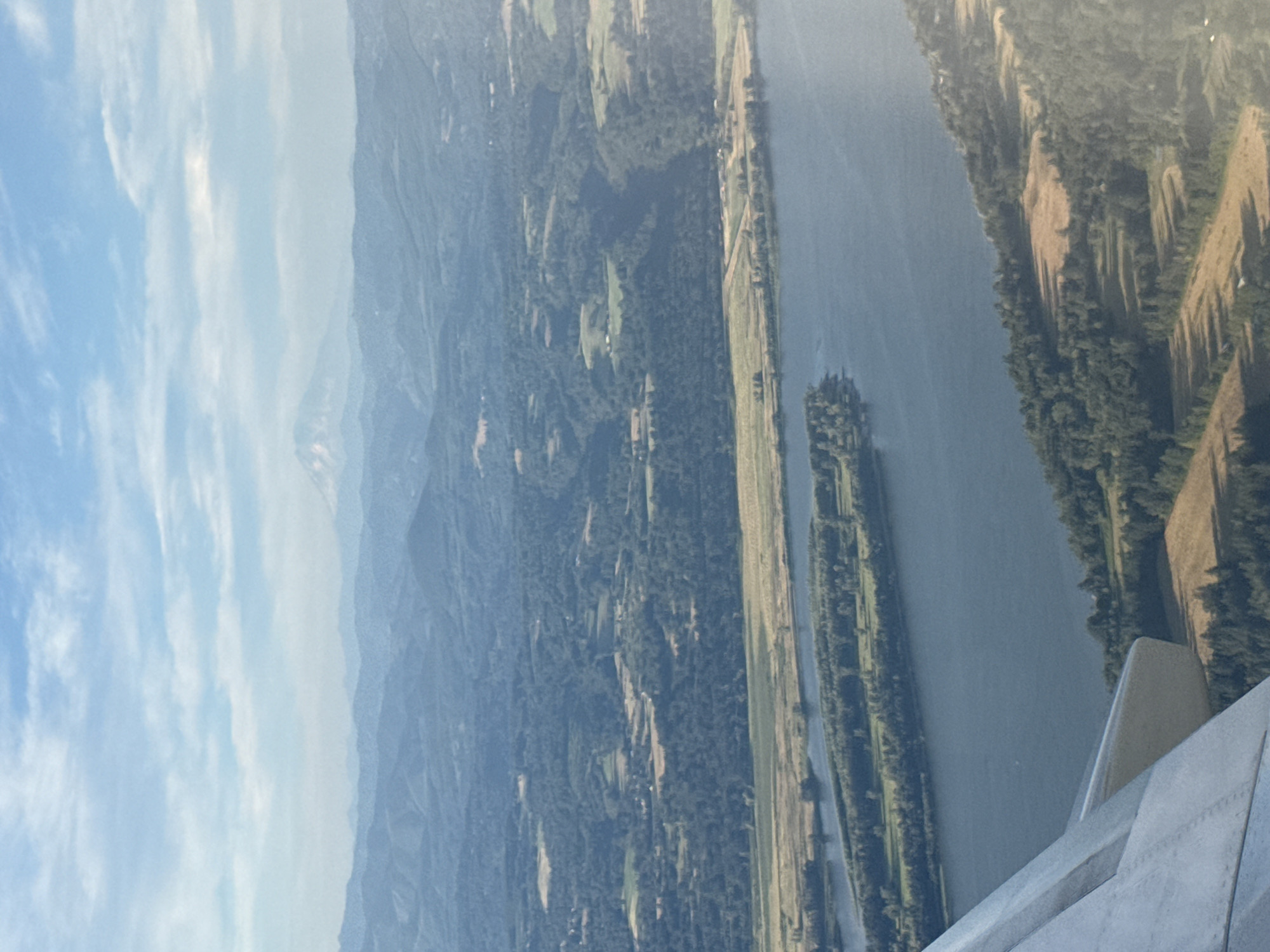
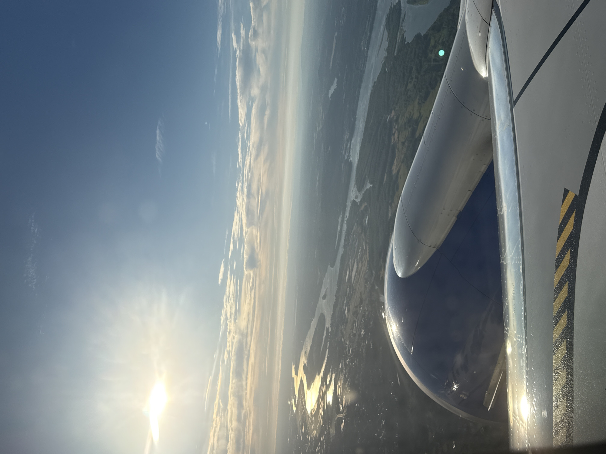
This is an aerial photograph of the Columbia River bordering Corbett, Oregon, United States of America. The view is from an airplane window, showing the river in the foreground and middle ground. Several islands are visible within the river, covered in trees. The riverbanks are lined with forests and agricultural fields. In the distance, rolling hills covered in trees stretch towards a hazy mountain range. A snow-capped peak, likely Mount Hood, is visible in the far distance. The sky is blue with scattered clouds. Part of an airplane wing is visible in the lower left corner of the image. The scene depicts a natural landscape with human elements of agriculture and transportation.
verac

Jul 8, 2026, 2:41 AM

Corbett, USA

Stake attention in this memory

peaceful
serene
expansive
tranquil
calm

This is an aerial photograph of the Columbia River bordering Corbett, Oregon, United States of America. The view is from an airplane window, showing the river in the foreground and middle ground. Several islands are visible within the river, covered in trees. The riverbanks are lined with forests and agricultural fields. In the distance, rolling hills covered in trees stretch towards a hazy mountain range. A snow-capped peak, likely Mount Hood, is visible in the far distance. The sky is blue with scattered clouds. Part of an airplane wing is visible in the lower left corner of the image. The scene depicts a natural landscape with human elements of agriculture and transportation.

Loading AttnAds…

transactions
revenues
stakers
Earliest
Latest
Highest stake

No transactions found

More from this user

More from Corbett
Memory

Nearby

this memory

nearby events

verac

Jul 8, 2026, 2:41 AM

Corbett, USA

Licensed under Creative Commons Attribution 4.0 International License. You are free to share and adapt this content with proper attribution.