Stake attention in this memory
Exploration
Mapping
Detail
Nostalgia
Information
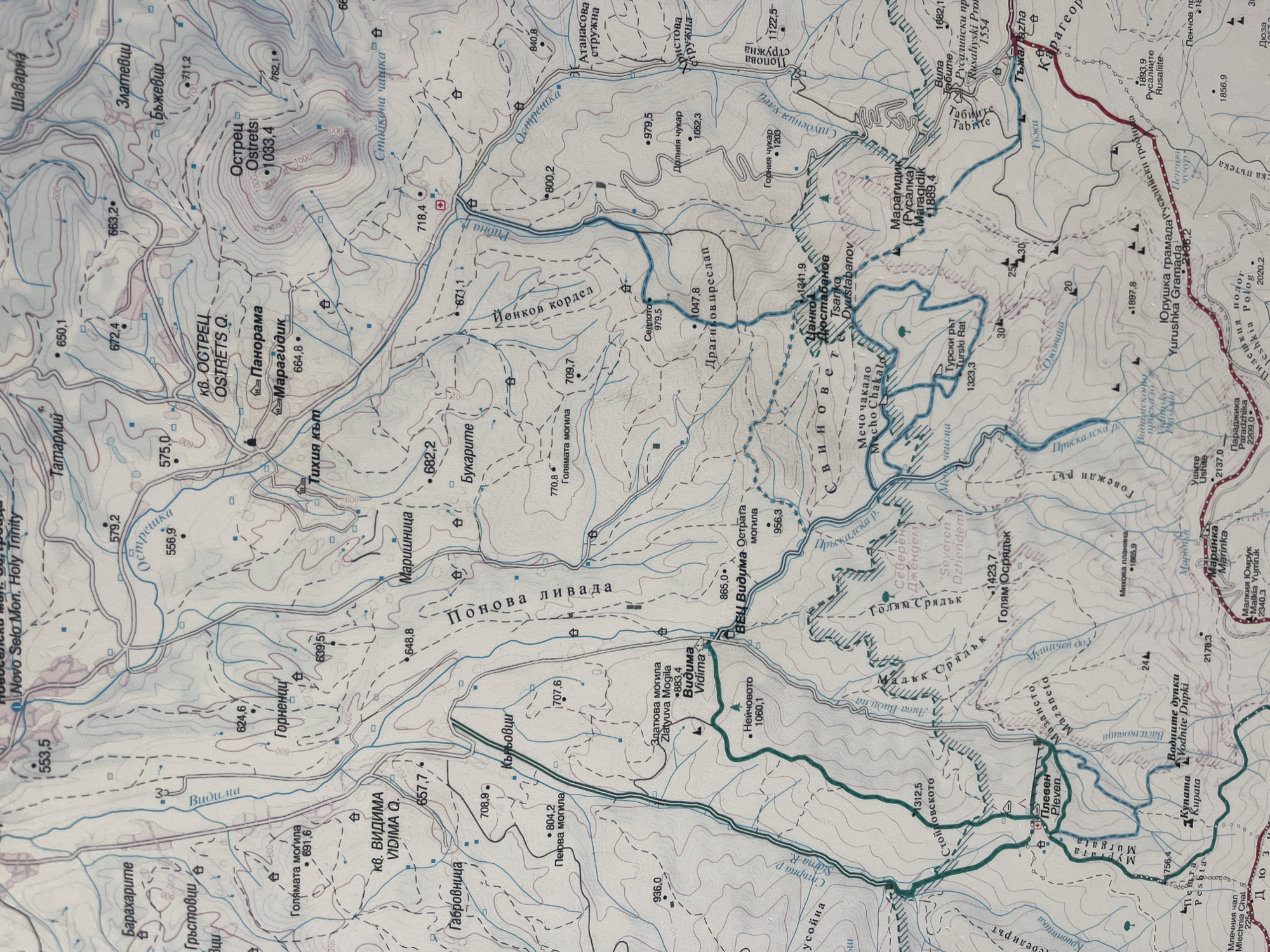
The image is a topographic map showing an area in the vicinity of Apriltsi, Bulgaria. The map includes contour lines, elevation points, and labels for geographical features such as peaks (Ostrets, Dolnia Chukar, Gornia Chukar), rivers (Styrna R., Prskalska R.), forests, villages and landmarks. Specific locations include Novo Selo Monastery (Novo Selo Mon. Holy Trinity), the peaks of Vidima, and smaller settlements like Tatarlii, Gavrovnitsa, and Marishnitsa. The map also indicates trails, roads, and tourist landmarks.
transactions
revenues
stakers
Earliest
Latest
Highest stake
No transactions found