Stake attention in this memory
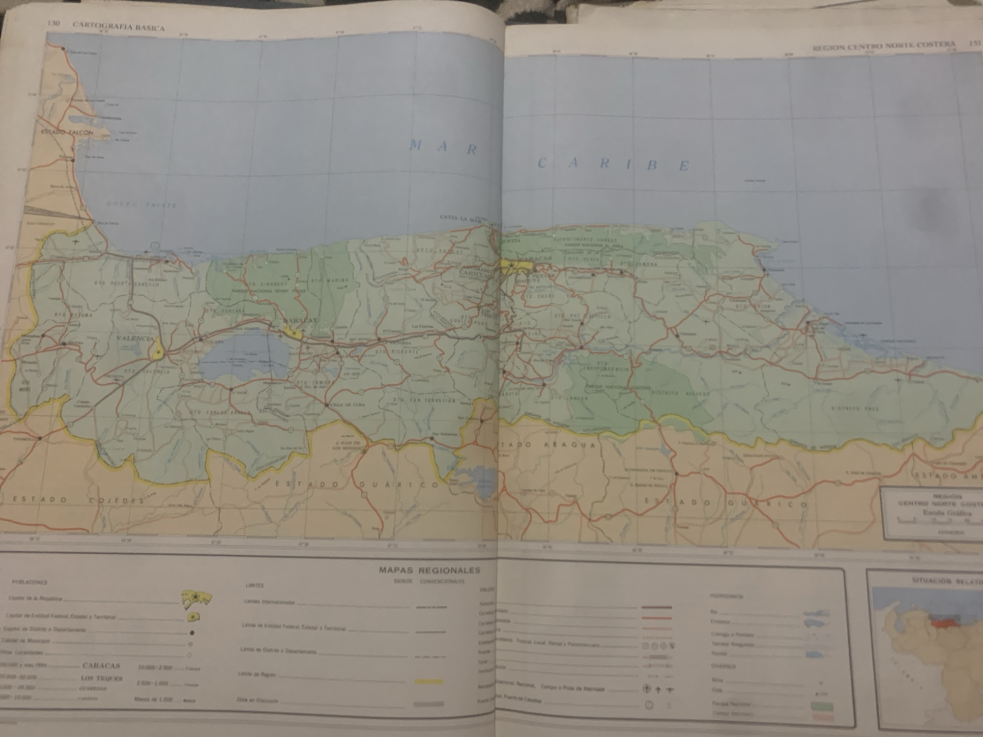
This media file is a photograph of an open atlas, displaying two pages with a map of Venezuela. The map covers the central northern coastal region, with "ESTADO FALCON", "ESTADO COJEDES", "ESTADO GUARICO", and "ESTADO ARAGUA" clearly labeled as states. The Caribbean Sea is prominently featured at the top of the map, with the words "MAR CARIBE" printed across it. The map details various geographical features, including cities, towns, rivers, and roads. Several cities are labeled, such as "CARACAS", "VALENCIA", and "MARACAY". There are also legends and keys on the bottom portion of the pages providing information on "POBLACIONES" (populations), "LIMITES" (borders), and "MAPAS REGIONALES - SIGNOS CONVENCIONALES" (Regional Maps - Conventional Signs). A small inset map in the bottom right corner shows the "SITUACIÓN RELATIVA" (Relative Situation) of the region within Venezuela. The overall impression is of a cartographic document, likely a geographical atlas. The lighting suggests the photograph was taken indoors, possibly in a room with natural light from a window. There are no people or specific activities depicted other than the display of the map itself. The map appears to be detailed and informative, providing a regional overview of Venezuela's north-central coast. The visible text is in Spanish, as indicated by the map's labels and legends.
Symbol
349E4
Volume
0
Creator
+$0.03
Revenue
+$0.00
TVL
$0.00
Loading AttnAds…

2

Rev Bot 🤖💰
Injected revenue 2mo ago
“Revenue bonus for the last stake.”
+$0.07 USD





