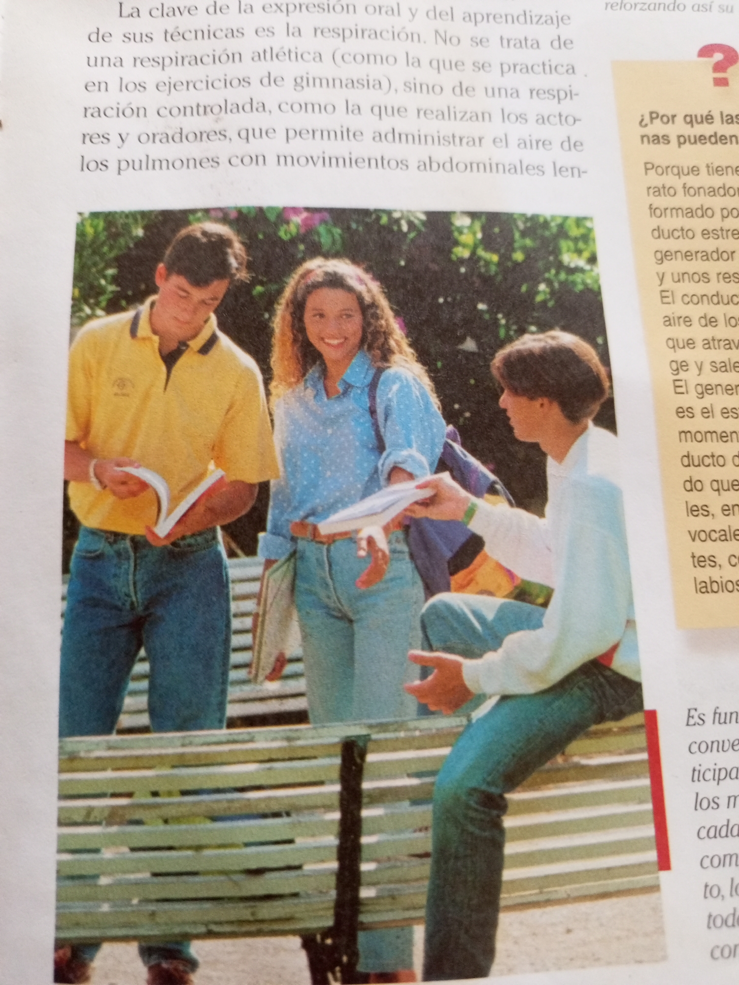
Stake attention in this memory
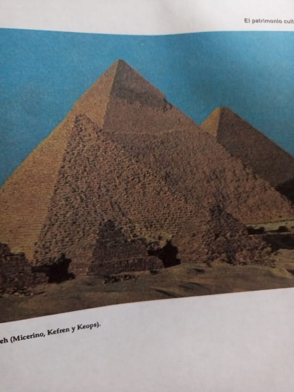
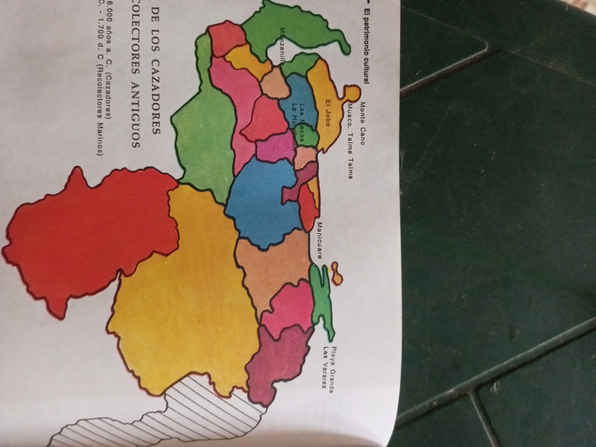
This is a photograph of a colorful map depicting various archaeological sites in Venezuela. The map is overlaid on a dark green textured surface, possibly a table. The map itself is divided into distinct regions, each filled with a different color, and labeled with place names. The prominent text on the left side of the map reads "DE LOS CAZADORES COLECTORES ANTIGUOS," indicating that the map is related to ancient hunter-gatherer collectors. Below this, it specifies time periods: "6.000 años a. C. (Cazadores)" and "C. 1.700 d. C (Recolectores Marinos)." Several locations are labeled on the map, including "Manzanillo," "Monte Cano," "Muaco. Taima Taima," "El Jobo," "Las Mesas," "La Hundleton," "Manicuare," "Playa Grande," and "Las Vararas." The text "El patrimonio cultural" suggests that these sites are culturally significant. The map appears to be a historical or archaeological representation, highlighting human activity and settlement in the region over time. The image is well-lit, allowing for clear visibility of the map's details and text. The presence of the dark green surface suggests the map might be displayed or used in a practical setting.
Symbol
3523F
Volume
11,550
Creator
+$0.10
Revenue
+$0.20
TVL
$8.15
2
Rev Bot 🤖💰
Injected revenue 11d ago
“Revenue bonus for the last stake.”
+$0.22 USD