
Sign in
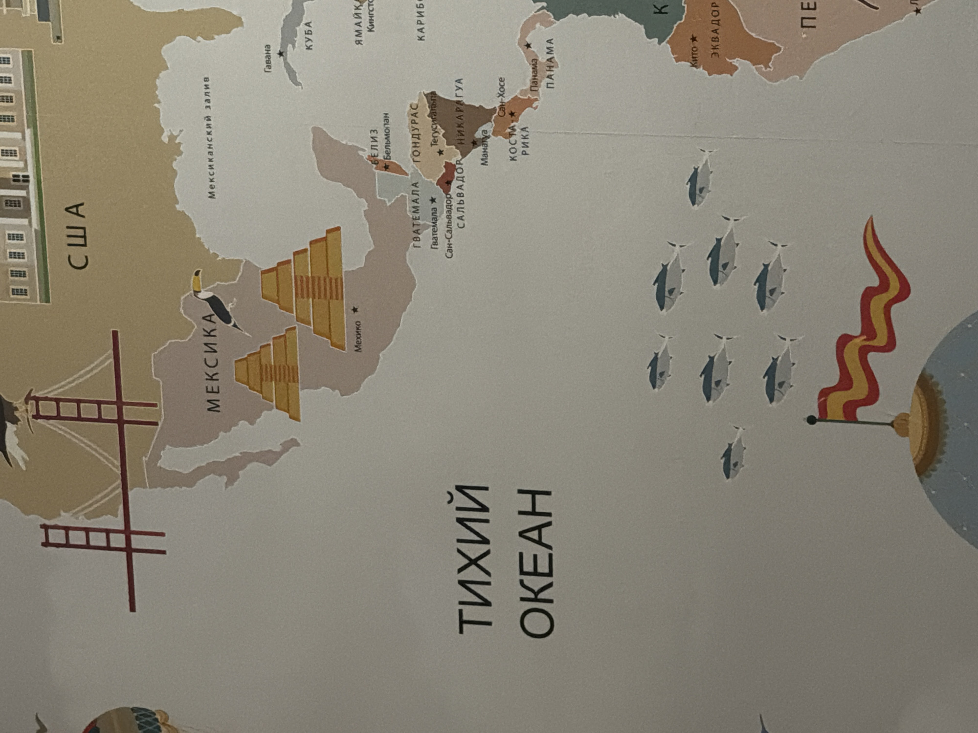
The image is a close-up of a map, focusing on Central America and parts of South America, as well as a section of the Pacific Ocean. The map features stylized illustrations of landmarks like pyramids and buildings. Text on the map is in Russian, labeling regions such as "ТИХИЙ ОКЕАН" (Pacific Ocean), "МЕКСИКА" (Mexico), "США" (USA), and various Central American countries. A flock of fish is depicted in the lower left portion of the map, swimming in the ocean. The map is rendered in muted earth tones and beige. The location of Ladozhskoe Ozero, Russia, is not depicted or mentioned in this image.
nazekaaa

Jun 13, 2026, 7:06 PM

Ladozhskoe Ozero, Russia

Stake attention in this memory

curiosity
wonder
exploration
education
discovery

The image is a close-up of a map, focusing on Central America and parts of South America, as well as a section of the Pacific Ocean. The map features stylized illustrations of landmarks like pyramids and buildings. Text on the map is in Russian, labeling regions such as "ТИХИЙ ОКЕАН" (Pacific Ocean), "МЕКСИКА" (Mexico), "США" (USA), and various Central American countries. A flock of fish is depicted in the lower left portion of the map, swimming in the ocean. The map is rendered in muted earth tones and beige. The location of Ladozhskoe Ozero, Russia, is not depicted or mentioned in this image.

Loading AttnAds…

transactions
revenues
stakers
Earliest
Latest
Highest stake

No transactions found
More from this user

More from Ladozhskoe Ozero

nazekaaa

Jun 13, 2026, 7:06 PM

Ladozhskoe Ozero, Russia

Licensed under Creative Commons Attribution 4.0 International License. You are free to share and adapt this content with proper attribution.