Stake attention in this memory
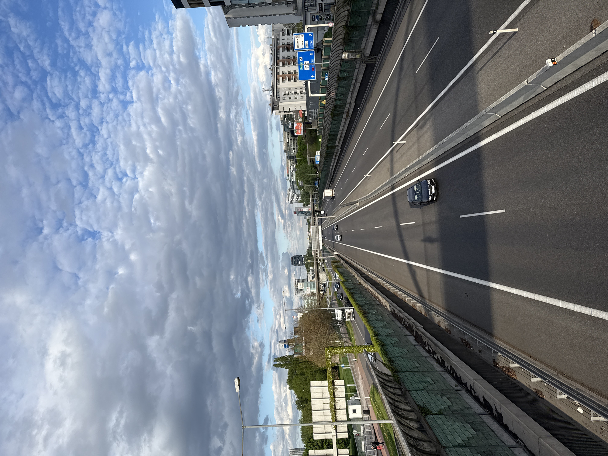
The image provides an elevated perspective of a multi-lane highway in an urban setting, likely Bratislava, Slovakia. The highway features several lanes of traffic moving in both directions, separated by a concrete median barrier. In the foreground and midground, vehicles, including a prominent black car and a white truck further down, are visible on the highway, indicating active traffic flow. White lane markings and solid white lines are clearly visible on the dark asphalt. Alongside the highway, on the left, a parallel, smaller road is visible, bordered by trees and green vegetation. Beyond these roads, modern high-rise buildings and apartment blocks line the horizon, interspersed with more greenery. The sky above is partially cloudy, with patches of bright blue visible through white, fluffy clouds that transition into larger, denser grey formations. Several blue road signs with white text are visible above the highway. These signs provide directional information to locations like "CENTRUM," "Karpatská," and "J. Kráľa," along with international route designations "E 58" and "E 75," and national road numbers "1," "2," "3," "49," and "M1" (Hungary's M1 motorway). Another sign further in the distance reads "ODCHODY" (Departures/Schedules). Sound barriers or fencing, covered with green netting, line the sides of the highway. The clear shadows cast by vehicles and highway structures suggest it is daytime, possibly late morning or afternoon. The overall scene depicts a functional and busy transportation artery within a city.
No transactions found