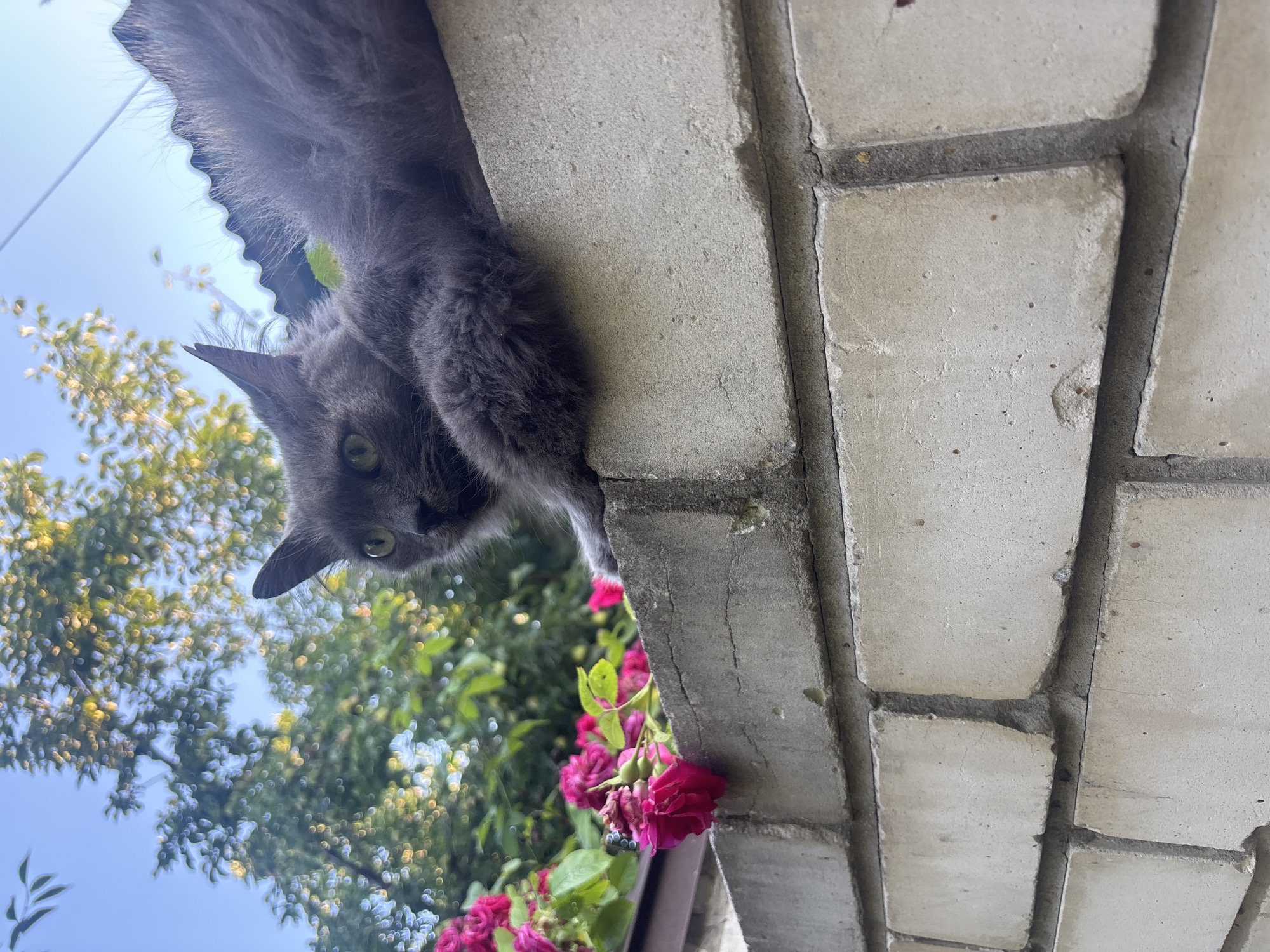
Stake attention in this memory
destroyed
abandoned
devastated
forgotten
ruined
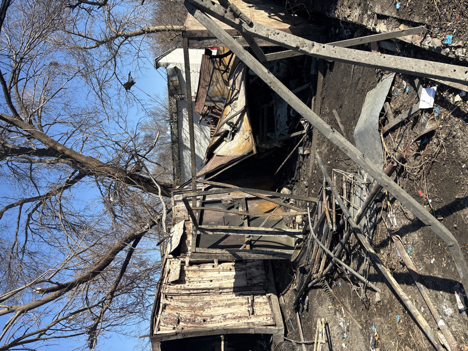
The image shows the aftermath of a fire, most likely from a rocket or bomb attack, in Kharkiv, Ukraine. The location is 50.013° N, 36.289° E. The image shows a large tree with bare branches in the foreground and a charred building in the background. The building appears to be a shed or small structure. The debris of the structure is spread across the ground. Scattered debris, including charred wood and metal, are visible throughout the image. The building is located on a dirt path. There are no people in the image. The sky is blue.
transactions
revenues
stakers
Earliest
Latest
Highest stake
No transactions found