Stake attention in this memory
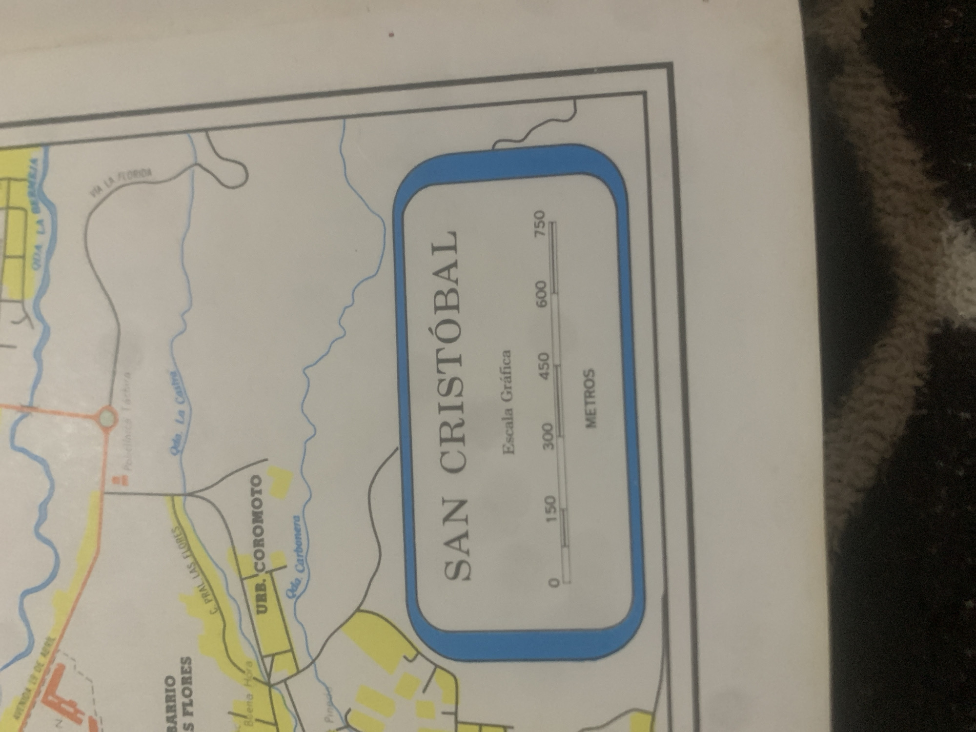
The image is a close-up of a map, focusing on a section labeled "SAN CRISTÓBAL". Below this title, there is a graphic scale with markings for 0, 150, 300, 450, 600, and 750 meters, indicating that the map is a representation of distances in meters. The map itself shows various geographical features and urban areas, including "BARRIO LAS FLORES", "URB. COROMOTO", and several street and waterway names such as "AVENIDA 19 DE ABRIL", "C. PRAL LAS FLORES", "Qda La Castro", "Qda La Bernija", and "Via La Florida". The overall appearance suggests a printed map, likely from a public service or informational document related to the city. There are no people or animals visible in the frame. The background shows a dark, textured surface, possibly fabric, which is out of focus.
Loading AttnAds…
No transactions found





