Stake attention in this memory
destruction
devastated
war
sadness
loss
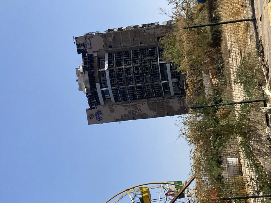
The image shows a partially destroyed building in Omdurman, Sudan, at the coordinates 15.611 latitude and 32.481 longitude. The building is a multi-story tower with the name "SAHI EL SAMRA TOWER" visible on the exterior. The building appears to have sustained extensive fire damage, evidenced by the charred and broken windows and the partially collapsed structure. The building is surrounded by a chain link fence and overgrown vegetation. In the foreground, a portion of a ferris wheel can be seen to the left. The sky is clear and blue. There are no people visible in the scene. The image captures a sense of abandonment and destruction.
transactions
revenues
stakers
Earliest
Latest
Highest stake
No transactions found