Stake attention in this memory
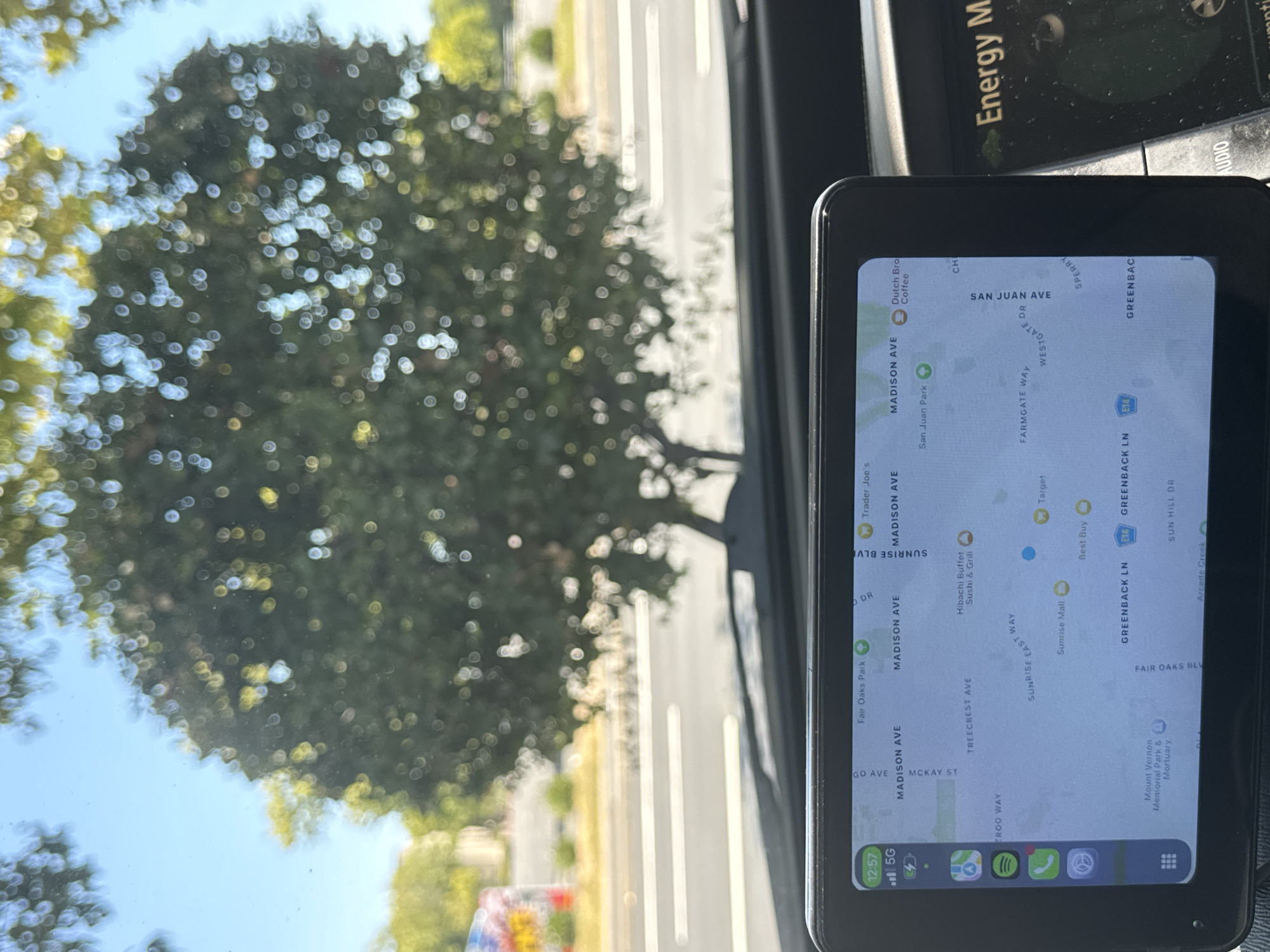
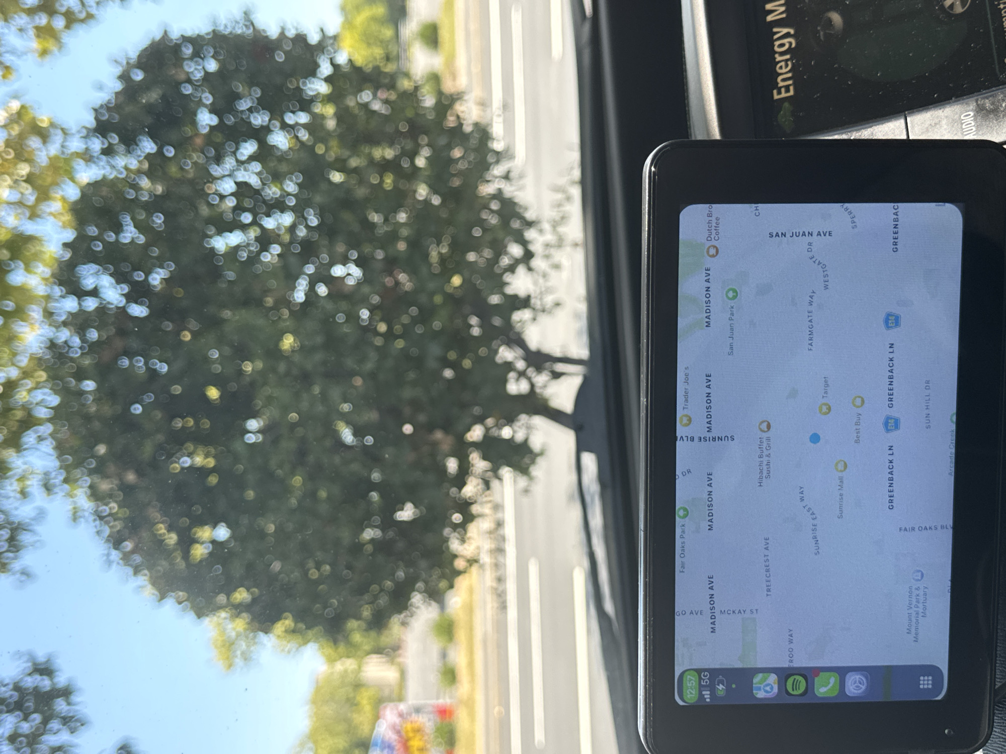
The image shows a close-up view of a car's dashboard and windshield. On the dashboard, there is a GPS device displaying a map of Citrus Heights, California, USA. The map shows various street names, including Madison Avenue, Sunrise Boulevard, and Greenback Lane, as well as landmarks like Fair Oaks Park, Target, and a Dutch Bros Coffee. To the right of the GPS, another screen displays "Energy M". Through the windshield, a large tree with green leaves and a blue sky are visible. The image is taken from inside a vehicle, suggesting the scene is a road or parking lot in Citrus Heights.
Symbol
39AD6
Volume
0
Creator
+$0.03
Revenue
+$0.00
TVL
$0.00
Loading AttnAds…

2

Rev Bot 🤖💰
Injected revenue 1mo ago
“Revenue bonus for the last stake.”
+$0.06 USD