Stake attention in this memory
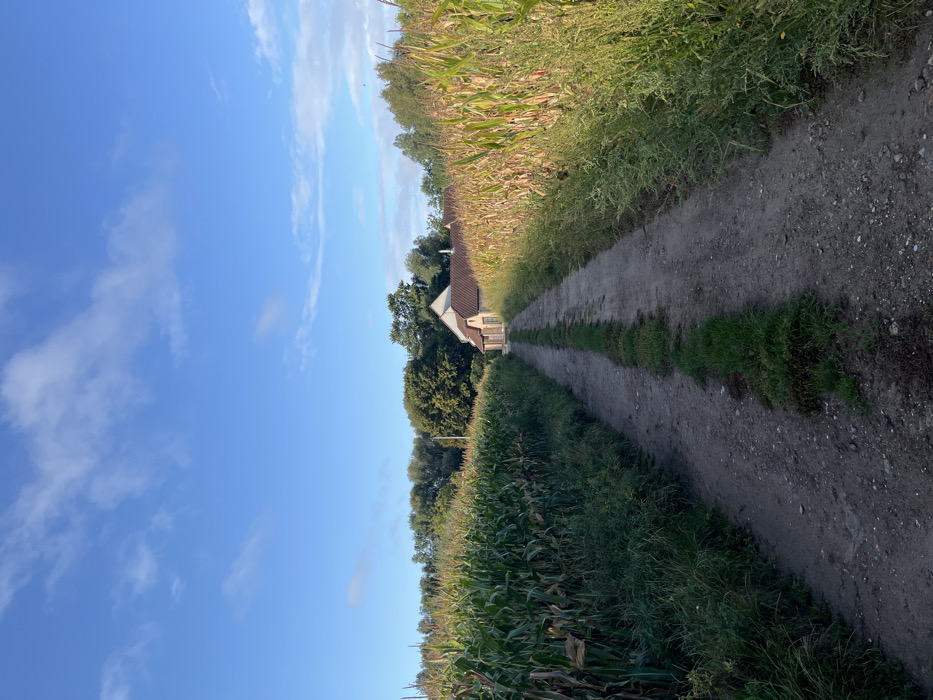
This image displays a rural landscape within Anderlecht, Belgium. A roughly 1.5-meter-wide unpaved dirt path, with a central strip of green grass, extends from the foreground to the background, converging on the horizon. The path is flanked on both sides by tall crop fields, presumed to be corn (maize); the left field appears predominantly green, while the right field exhibits a more golden-brown hue. Weeds and wild growth line the path's edges. In the distance, at the path's terminus, a light-colored building with a reddish-brown gabled roof is visible, partially obscured by dense green trees that form a distant treeline across the horizon. Overhead, the sky is clear blue with scattered white, wispy clouds. The scene is illuminated by natural daylight, casting brighter light on the right side of the path and the adjacent crop field. No individuals or specific activities are depicted.
No transactions found