
Stake attention in this memory
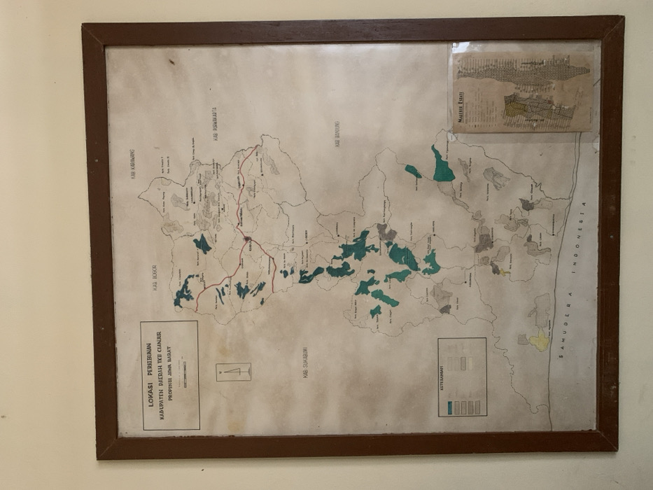
A rectangular map, titled 'LOKASI PERKEBUNAN KABUPATEN DAERAH TKII CIANJUR PROVINSI JAWA BARAT' (Plantation Location, Cianjur District, West Java Province), is presented within a dark brown wooden frame mounted on a light-colored wall. The map illustrates the geographical layout of Cianjur Regency in West Java, Indonesia, bordered by other regencies and the Indian Ocean to the south. Designated areas, likely plantations, are highlighted in green, grey, and yellow, explained by a legend 'KETERANGAN' in the bottom-left. Key towns and regions such as Cianjur and Gedeh (GHO) are labeled and interconnected by red lines representing roads. A compass rose is in the upper-left. A smaller, detailed inset map titled 'MALABAR ESTATE' occupies the bottom-right corner. The map itself exhibits signs of age, including overall discoloration and minor blemishes. This static scene contains no individuals or active elements. It is located in Ciherang, Indonesia, within the broader Cianjur Regency depicted on the map.
Loading AttnAds…
No transactions found