
Sign in
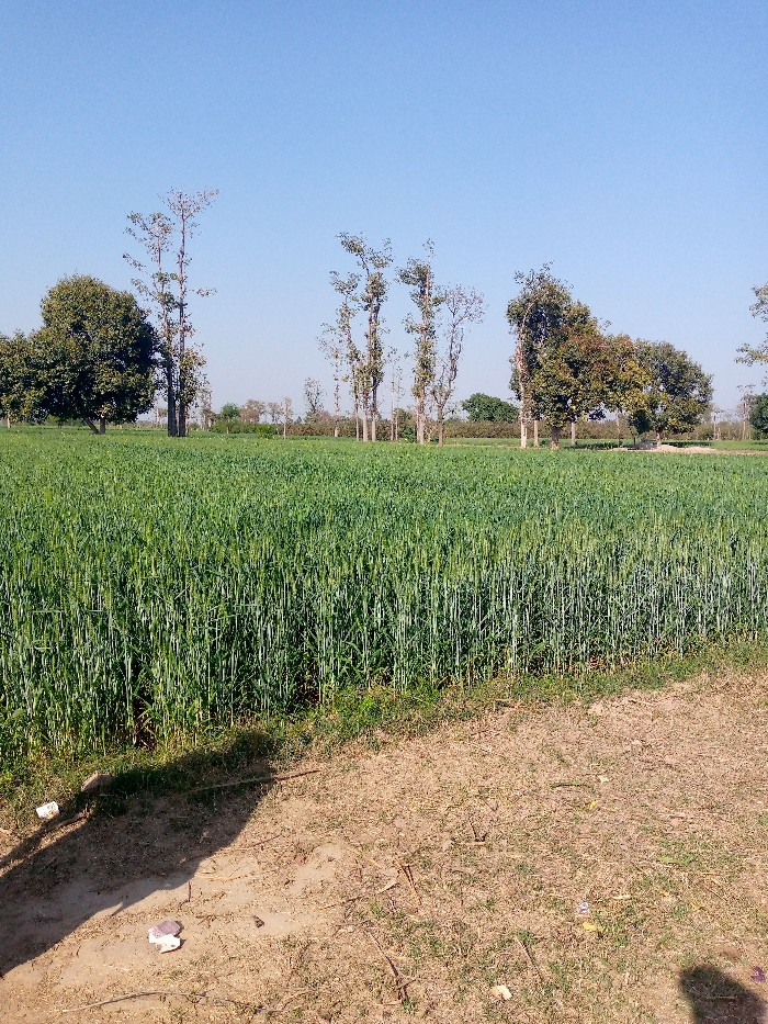
The image shows a field of green wheat, located in Renala Khurd, Pakistan, at the coordinates 30.889 latitude and 73.602 longitude. In the background, there are several tall trees and a clear blue sky. The ground is dry and brown with some scattered weeds and patches of grass.  The field is bordered by a small dirt road that runs along the bottom of the image. The image appears to be taken from a slightly elevated position looking toward the field of wheat.
FM-E5fhb2

Mar 2, 2025, 9:53 AM

Renala Khurd, Pakistan

Stake attention in this memory

peaceful
serene
tranquil
rural
natural

The image shows a field of green wheat, located in Renala Khurd, Pakistan, at the coordinates 30.889 latitude and 73.602 longitude. In the background, there are several tall trees and a clear blue sky. The ground is dry and brown with some scattered weeds and patches of grass. The field is bordered by a small dirt road that runs along the bottom of the image. The image appears to be taken from a slightly elevated position looking toward the field of wheat.

Loading AttnAds…

transactions
revenues
stakers
Earliest
Latest
Highest stake

No transactions found

More from this user

More from Renala Khurd

FM-E5fhb2

Mar 2, 2025, 9:53 AM

Renala Khurd, Pakistan

Licensed under Creative Commons Attribution 4.0 International License. You are free to share and adapt this content with proper attribution.