
Sign in
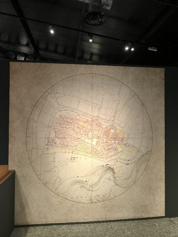
The image shows a large, circular, old map of València, Spain, printed on a beige wall with a light tan frame. The map is centered on the wall and is detailed, with a focus on the city's streets, waterways, and buildings. The map is surrounded by a dark gray wall and ceiling. The coordinates provided, latitude: 39.456, longitude: -0.352, indicate that the map is located in the Museu de la Ciutat, or City Museum, in València, Spain. The map appears to be an exhibit on the city's history and development.  The image was taken from a low angle, looking upward. There are no people present in the image.
FM-DtDaN2

Apr 17, 2025, 2:34 PM

València, Spain

Stake attention in this memory

historical
nostalgic
academic
intriguing
ancient

The image shows a large, circular, old map of València, Spain, printed on a beige wall with a light tan frame. The map is centered on the wall and is detailed, with a focus on the city's streets, waterways, and buildings. The map is surrounded by a dark gray wall and ceiling. The coordinates provided, latitude: 39.456, longitude: -0.352, indicate that the map is located in the Museu de la Ciutat, or City Museum, in València, Spain. The map appears to be an exhibit on the city's history and development. The image was taken from a low angle, looking upward. There are no people present in the image.

Loading AttnAds…

transactions
revenues
stakers
Earliest
Latest
Highest stake

No transactions found
More from this user

More from València

FM-DtDaN2

Apr 17, 2025, 2:34 PM

València, Spain

Licensed under Creative Commons Attribution 4.0 International License. You are free to share and adapt this content with proper attribution.