Stake attention in this memory
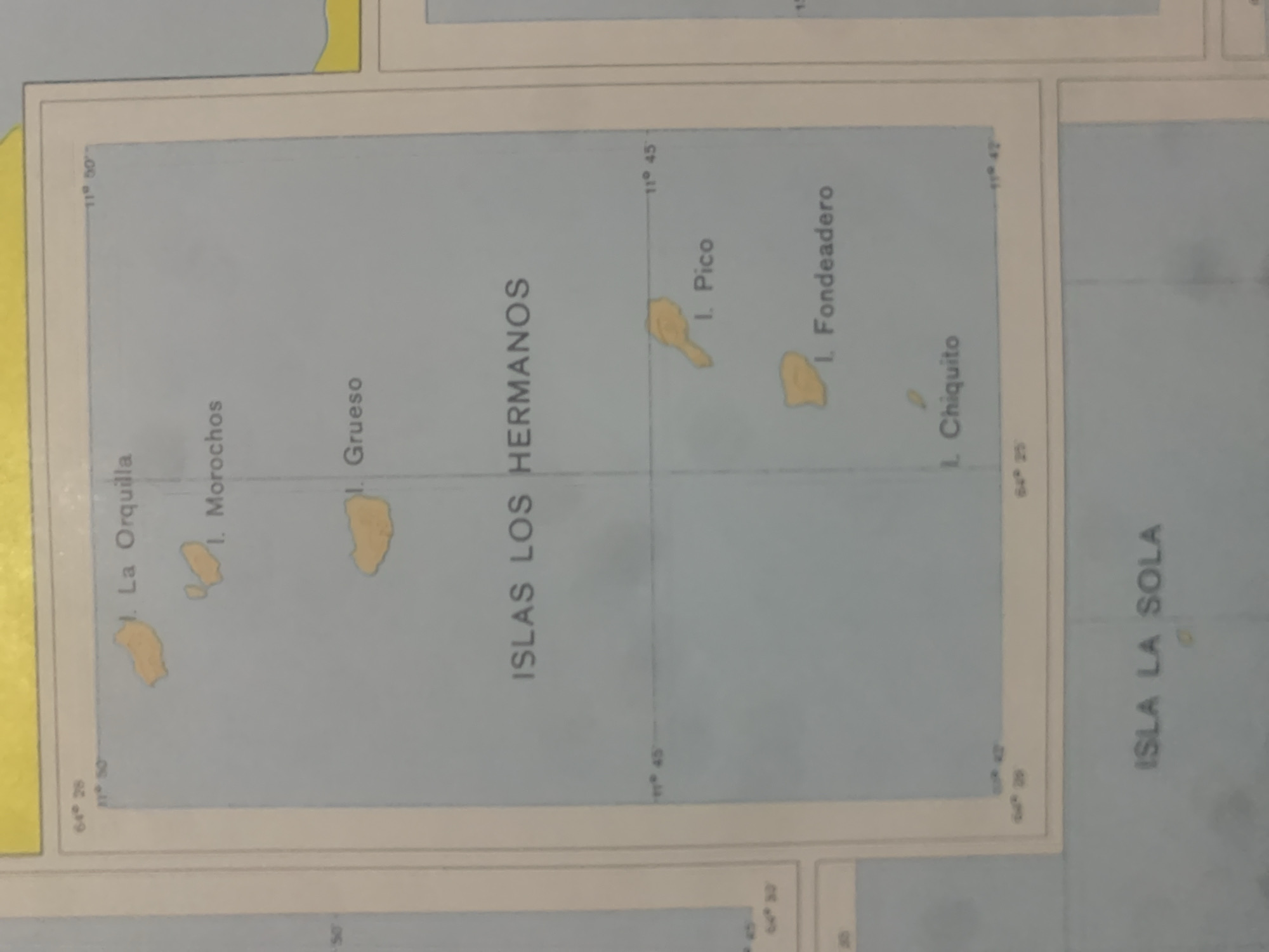
This image is a map showing several islands. The prominent text "ISLAS LOS HERMANOS" indicates that these are the "Los Hermanos Islands". Other islands labeled include "I. La Orquilla", "I. Morochos", "Grueso", "I. Pico", "I. Fondeadero", and "I. Chiquito". There are also latitude and longitude markings, such as "11° 50", "11° 45", "64° 28", and "64° 25". The map has a light blue background representing water, with the islands depicted in yellow. A section of another map or chart is visible on the right side, with the text "ISLA LA SOLA" on it. The overall scene is that of a navigational or geographical chart.
Symbol
3C689
Volume
0
Creator
+$0.03
Revenue
+$0.00
TVL
$0.00
Loading AttnAds…

2

Rev Bot 🤖💰
Injected revenue 2mo ago
“Revenue bonus for the last stake.”
+$0.06 USD





