Stake attention in this memory
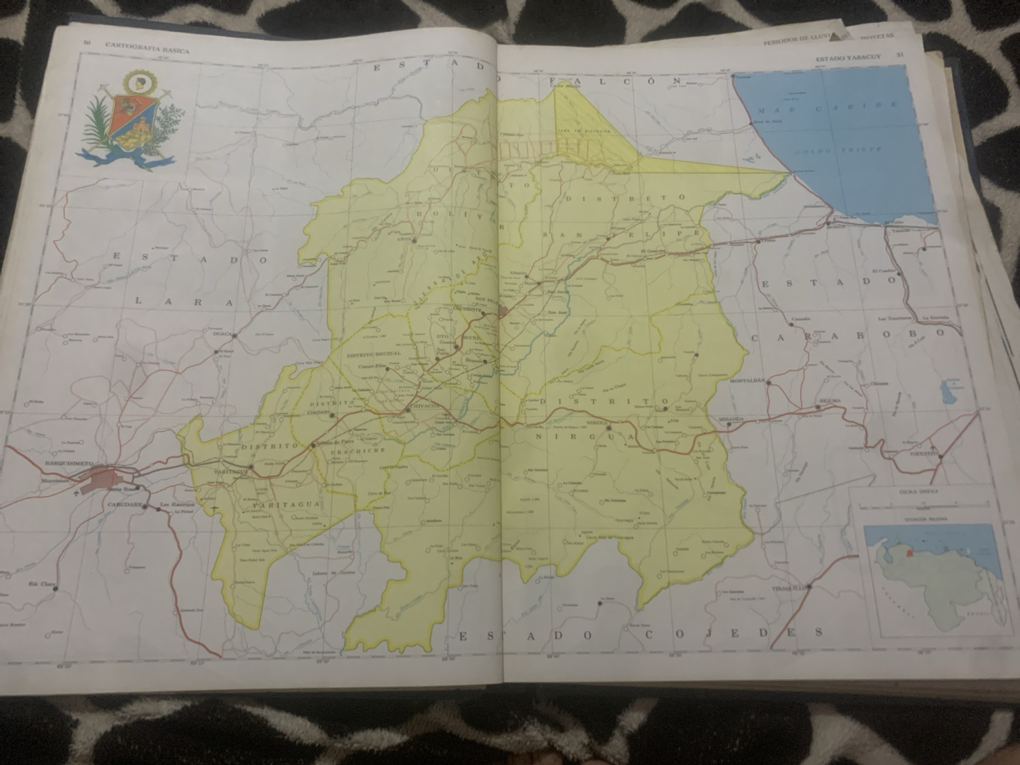
This media file is an open book showing a map of Venezuela, specifically focusing on the state of Yaracuy and surrounding areas. The map is detailed, with topographical features, cities, towns, and districts clearly marked. A national emblem, the coat of arms of Venezuela, is visible in the upper left corner. The map is predominantly yellow and white, with blue indicating bodies of water, such as the "MAR CARIBE" and "GOLFO TRISEE". Several place names are visible, including "ESTADO LARA", "DISTRITO BRUZUAL", "YARITAGUA", "BARQUISIMETO", "CARABOBO", and "MIRANDA". Text indicating "CARTOGRAFIA BASICA", "PERIODOS DE LLUVIA", and "ESTADO YARACUY" are also present. A small inset map shows the location of Venezuela within South America. The map appears to be from an atlas, with the binding visible at the center. The image is taken from a slightly elevated angle, showing the map lying flat on a surface with a patterned texture, possibly a blanket or upholstery. The lighting suggests it is daytime, and there are no clear indications of weather conditions. There are no people visible in the image.
Symbol
3C6B0
Volume
0
Creator
+$0.03
Revenue
+$0.00
TVL
$0.00
Loading AttnAds…

2

Rev Bot 🤖💰
Injected revenue 2mo ago
“Revenue bonus for the last stake.”
+$0.05 USD





