Stake attention in this memory
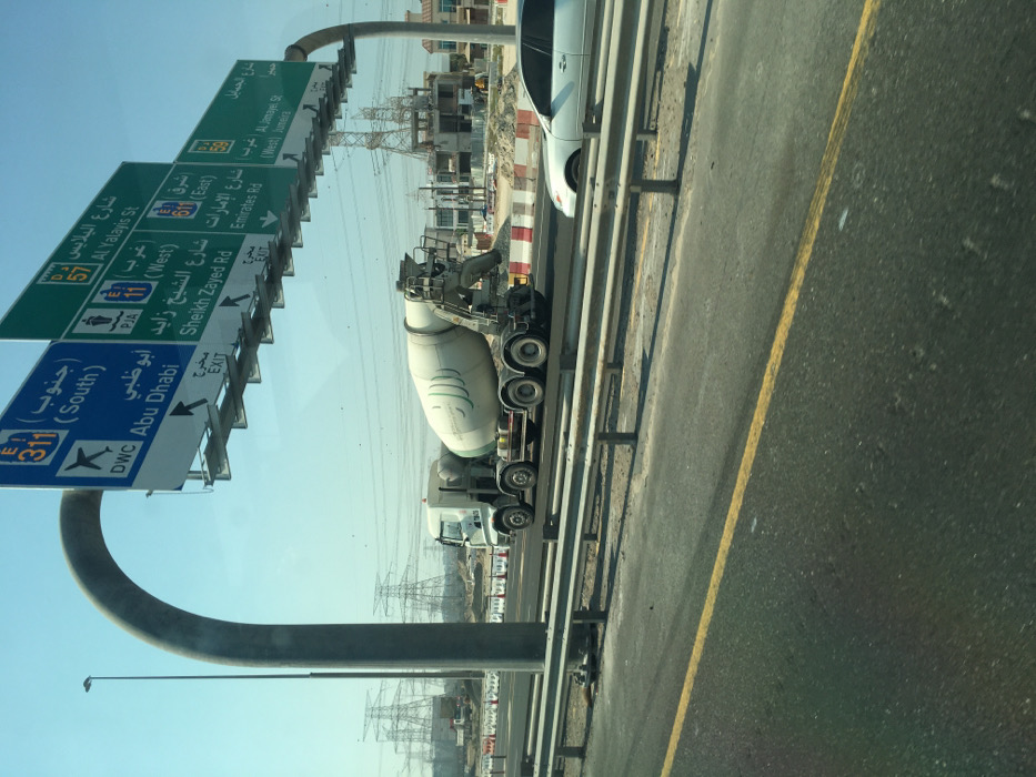
The image, rotated 90 degrees clockwise, captures a daytime scene from a vehicle on a multi-lane highway, looking towards the right side of the road. In the immediate foreground on the right, there is a section of dark asphalt road with a prominent solid yellow line. To the left of this line, a metal crash barrier, composed of multiple horizontal beams, runs parallel to the road. Behind the barrier, a white car is partially visible, followed by a cement mixer truck with a large, light-colored drum displaying a green logo. Another truck cab is visible behind the cement mixer. Beyond the road and vehicles, the landscape appears to be a construction zone or undeveloped land, characterized by reddish-brown earth and partially built structures or foundations. In the mid-distance and background, several large metal lattice towers, likely for high-voltage power lines, stand against a clear, bright blue sky. Dominating the left side of the image are two large overhead highway signs, mounted on a curved grey gantry structure. The signs are bilingual (Arabic and English) and indicate directions and destinations common in the United Arab Emirates. The upper green sign lists several routes and exits: * "شارع الجمايل (Al Jamayel St)" * "الشرق (East)" and "Jumeira (West)" with an "مخرج (Exit)" arrow. * "شارع الإمارات (Emirates Rd)" designated as "E11". * "شارع البلايس (Al Yalayis St)" designated as "57". * "شارع الشيخ زايد (Sheikh Zayed Rd)" with a "PJA" designation. The lower blue sign provides directions for: * "جنوب (South)" designated as "311". * An airplane icon indicating "DWC" (likely Dubai World Central or Al Maktoum International Airport). * "أبوظبي (Abu Dhabi)". * An "مخرج (Exit)" arrow. The bright sunlight and clear sky suggest good weather conditions. The presence of construction and power lines indicates an area of ongoing development or industrial activity adjacent to the highway.
Loading AttnAds…
No transactions found