Sign in
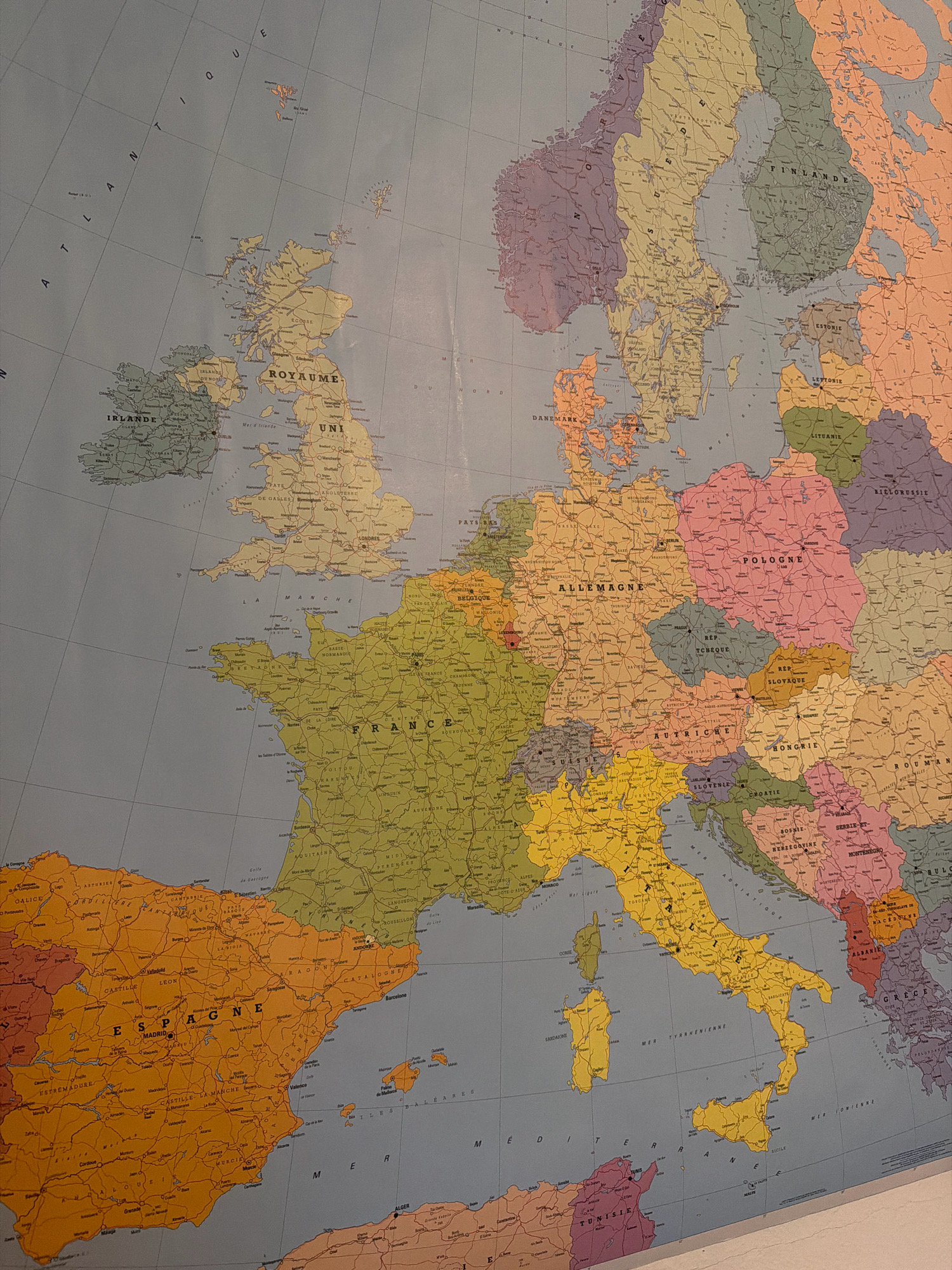
The image is a close-up of a political map of Europe, with the majority of the frame occupied by Western and Central Europe. The map uses distinct colors to delineate national borders and features labels in French for countries, cities, and geographical features. Prominently visible countries include France, Germany (labeled "Allemagne"), Spain (labeled "Espagne"), Italy (labeled "Italie"), the United Kingdom (labeled "Royaume Uni"), Ireland (labeled "Irlande"), Poland (labeled "Pologne"), and the Czech Republic (labeled "Rep. Tchèque"). Several major cities are labeled, such as Paris, London, Berlin, Rome, Madrid, and Prague. The map also shows bodies of water like the Atlantic Ocean ("Océan Atlantique"), the English Channel ("La Manche"), the Mediterranean Sea ("Mer Méditerranée"), and various seas within Europe. The geographical detail suggests a relatively large-scale map, likely intended for educational or general reference purposes. There are no people, actions, or interactions depicted in the image, as it is a static map. The specific location of Louny, Czechia, is not explicitly visible or identifiable within this cropped view of the map, which focuses on broader European regions.
Rainira

Sep 10, 2026, 4:56 AM

Louny, Czechia

Stake attention in this memory

curiosity
nostalgia
wanderlust
educational
discovery

The image is a close-up of a political map of Europe, with the majority of the frame occupied by Western and Central Europe. The map uses distinct colors to delineate national borders and features labels in French for countries, cities, and geographical features. Prominently visible countries include France, Germany (labeled "Allemagne"), Spain (labeled "Espagne"), Italy (labeled "Italie"), the United Kingdom (labeled "Royaume Uni"), Ireland (labeled "Irlande"), Poland (labeled "Pologne"), and the Czech Republic (labeled "Rep. Tchèque"). Several major cities are labeled, such as Paris, London, Berlin, Rome, Madrid, and Prague. The map also shows bodies of water like the Atlantic Ocean ("Océan Atlantique"), the English Channel ("La Manche"), the Mediterranean Sea ("Mer Méditerranée"), and various seas within Europe. The geographical detail suggests a relatively large-scale map, likely intended for educational or general reference purposes. There are no people, actions, or interactions depicted in the image, as it is a static map. The specific location of Louny, Czechia, is not explicitly visible or identifiable within this cropped view of the map, which focuses on broader European regions.

Loading AttnAds…

transactions
revenues
stakers
Earliest
Latest
Highest stake

No transactions found

More from this user

More from Louny

Rainira

Sep 10, 2026, 4:56 AM

Louny, Czechia

Licensed under Creative Commons Attribution 4.0 International License. You are free to share and adapt this content with proper attribution.