
Stake attention in this memory
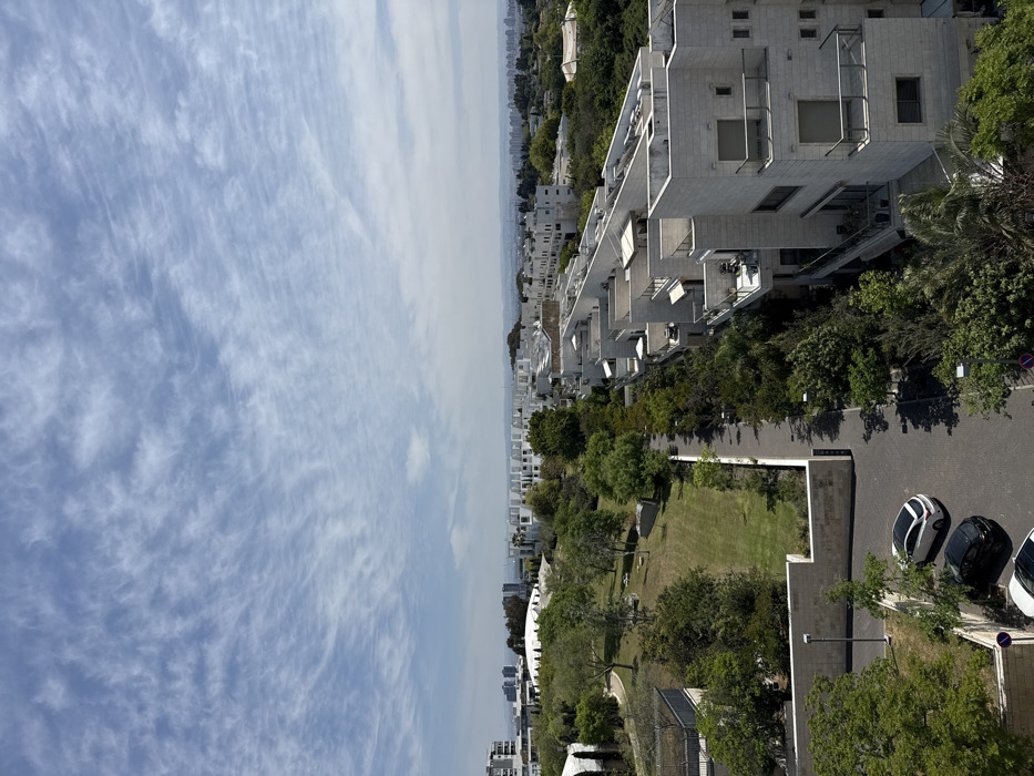
The image is an aerial view of a residential neighborhood in Tel Aviv-Yafo, Israel. The coordinates, 32.127 latitude and 34.831 longitude, place the location in the Neve Tzedek neighborhood. The photograph was taken from a high-rise building. The foreground features a paved parking lot with three cars parked in it, two white and one black. There is a small, manicured grassy patch with a stone wall separating it from the parking lot and the street beyond. The street is narrow and lined with trees on both sides. There is a sidewalk on the right side of the street. The street leads to a larger grassy park with trees and an open field in the center. There are two low-rise buildings on the left side of the park, one with a white domed roof. There are several tall buildings in the distance, and many white, low-rise buildings extending further back. The sky is bright blue with a layer of thin, wispy clouds. The image was taken during the day, in sunny weather. There are no people visible in the image.
Loading AttnAds…
No transactions found