Stake attention in this memory
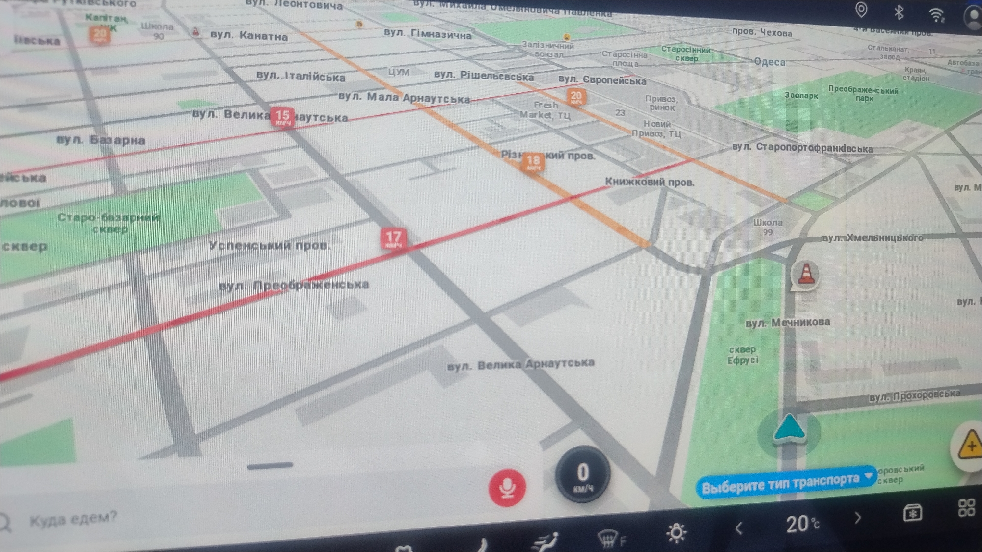
This is a close-up, high-angle shot of a car's navigation screen displaying a map. The map appears to be of a city, with street names and building outlines visible. The focus is on the map itself, rather than any passengers or the car's interior. The map shows a route highlighted in red, indicating a planned journey. Several street names are visible, including "вул. Велика Арнаутська," "вул. Італійська," "вул. Преображенська," and "вул. Хмельницького," suggesting the location is likely in Ukraine or a country with similar Cyrillic street signage. There are also icons representing points of interest such as a train station ("Залізничний вокзал"), a zoo ("Зоопарк"), and a market ("Привоз, ринок"). Numbers like "15," "17," "18," "20," and "23" are displayed on some streets, possibly indicating distances or route segments. At the bottom of the screen, there are several controls. A red microphone icon suggests voice command functionality. A circular display shows "0 км/ч," indicating the car is currently stationary. To the right of this, a "Выберите тип транспорта" button suggests the user can select their mode of transportation. Further controls are visible along the very bottom edge of the screen, including what looks like temperature information ("20%"). The lighting suggests the image was taken during the day, possibly indoors or with ambient light reflecting off the screen, as there are no strong shadows or clear indications of external weather conditions. The overall impression is a functional navigation interface within a vehicle.
No transactions found