Sign in
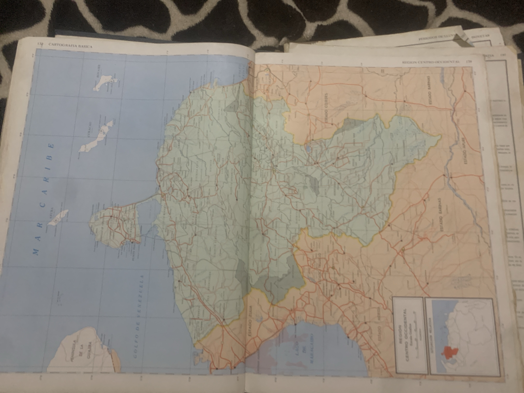
This is a media file of an open map book. The map shows the northern coast of Venezuela and surrounding islands. The primary visible subject is the map itself, which is a detailed depiction of geographical features, roads, and political boundaries. The map is laid open on a surface covered with a black and white patterned fabric, likely a blanket or rug.

The map displays the "MAR CARIBE" (Caribbean Sea) along the western side, with islands labeled "CURACAO" and "BONAIRE" visible. The Venezuelan coast is prominently featured, with "GOLFO DE VENEZUELA" (Gulf of Venezuela) also labeled. Various "ESTADO" (State) divisions of Venezuela are demarcated, including "ESTADO ZULLA," "ESTADO BARINAS," and "ESTADO APURE," along with other regions like "REGION CENTRO OCCIDENTAL." There are numerous road networks illustrated on the landmasses, indicating transportation routes. Small inset maps and descriptive text boxes are also present.

The visible text on the map and its surrounding pages includes titles like "CARTOGRAFIA BASICA," "REGION CENTRO-OCCIDENTAL," and labels for geographical locations and administrative divisions. Other visible text appears to be related to the publication, such as page numbers ("138," "139") and potentially section titles like "PERIODOS ONLANG" and "OKIVETAN."

The scene appears to be indoors, with artificial lighting, as there are no strong shadows or indications of natural daylight. The overall impression is that of someone studying or using the map, though no people are visible in the frame. The map is the sole focus of the image, presented in a somewhat angled view.
bombolico

Jun 25, 2026, 2:47 PM

La Tagua, Venezuela

BLOCKED

Stake attention in this memory

nostalgic
informative
detailed
academic
historical

This is a media file of an open map book. The map shows the northern coast of Venezuela and surrounding islands. The primary visible subject is the map itself, which is a detailed depiction of geographical features, roads, and political boundaries. The map is laid open on a surface covered with a black and white patterned fabric, likely a blanket or rug. The map displays the "MAR CARIBE" (Caribbean Sea) along the western side, with islands labeled "CURACAO" and "BONAIRE" visible. The Venezuelan coast is prominently featured, with "GOLFO DE VENEZUELA" (Gulf of Venezuela) also labeled. Various "ESTADO" (State) divisions of Venezuela are demarcated, including "ESTADO ZULLA," "ESTADO BARINAS," and "ESTADO APURE," along with other regions like "REGION CENTRO OCCIDENTAL." There are numerous road networks illustrated on the landmasses, indicating transportation routes. Small inset maps and descriptive text boxes are also present. The visible text on the map and its surrounding pages includes titles like "CARTOGRAFIA BASICA," "REGION CENTRO-OCCIDENTAL," and labels for geographical locations and administrative divisions. Other visible text appears to be related to the publication, such as page numbers ("138," "139") and potentially section titles like "PERIODOS ONLANG" and "OKIVETAN." The scene appears to be indoors, with artificial lighting, as there are no strong shadows or indications of natural daylight. The overall impression is that of someone studying or using the map, though no people are visible in the frame. The map is the sole focus of the image, presented in a somewhat angled view.

Symbol

3EC46

Volume

0

Creator

+$0.09

Revenue

+$0.00

TVL

$0.00

1D
1W
1M
All
transactions
revenues
stakers
Earliest
Latest
Highest stake

1

Ramón

Staked 10d ago
Redeemed 9d ago

$7.35 USD

+$0.01 USD

Fee: $0.07 (1%)

+0.1%

2

Rev Bot 🤖💰

Injected revenue 10d ago

Revenue bonus for the last stake.

+$0.18 USD

More from this user

More from La Tagua

bombolico

Jun 25, 2026, 2:47 PM

La Tagua, Venezuela

Licensed under Creative Commons Attribution 4.0 International License. You are free to share and adapt this content with proper attribution.





