
Stake attention in this memory
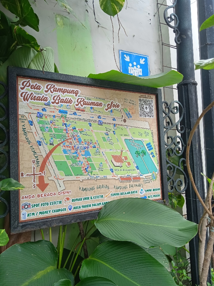
This image captures a weathered informational signboard, set outdoors amidst lush green foliage, against a light-colored wall, part of which is painted light green. The sign is framed in black and prominently displays a map titled "Peta Kampung Wisata Batik Kauman - Solo" (Map of Kauman Batik Tourism Village - Solo). The map details the layout of the village, showing streets, various buildings, and colored sections, likely indicating different areas or types of establishments. A large red curved arrow on the left points towards the bottom, originating from the "KAMPUNG KEMLAYAN" area, indicating a route. A compass rose with letters B (Barat - West), T (Timur - East), and S (Selatan - South) is visible, with an arrow pointing South. Below the map, a legend provides symbols for various points of interest: * "ANDA BERADA DISINI" (You Are Here) * "SPOT FOTO ESTETIK" (Aesthetic Photo Spot) * "ATM / MONEY CHANGER" * "RUMAH UNIK & ESTETIK" (Unique & Aesthetic House) * "AREA PARKIR DALAM KAP" (Parking Area within the Village, possibly a typo for 'kampung') * "TEMPAT BELAJAR BATIK" (Batik Learning Place) * "TEMPAT IBADAH" (Place of Worship) * "RUTE MOTOR" (Motorcycle Route) Other visible text on the map includes "KAMPUNG GAJAHAN," "KAMPUNG BALUWARTI," and "KAMPUNG KEDUNG LUMBU." A QR code labeled "SCAN FOR INFORMATION" is in the upper right corner of the map. Above the signboard, on the wall, there's a blue square sign with white stick figures and arrows pointing inwards, typically indicating an assembly point or meeting place. To the right of the signboard, a black ornate metal fence post is visible. The scene suggests a daytime setting in a tourist-oriented area within Surakarta, Indonesia, providing guidance for visitors exploring the batik village.
Loading AttnAds…
No transactions found