Stake attention in this memory
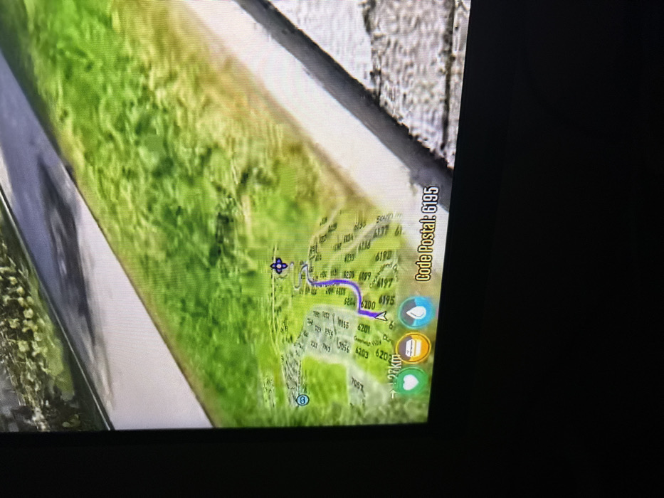
The image captures a tilted, close-up view of a digital screen displaying a map or navigation interface. The screen is illuminated, set against a dark background, and there's a subtle reflection on its surface. The map occupies the central part of the screen, rendered in a predominantly green hue, likely representing land or vegetation. A prominent, winding blue-purple line indicates a planned route or path. Along this route, a small white arrow suggests the current position or direction of travel. Numerous four-digit numbers are scattered across the green map area, likely denoting house numbers, postal codes, or other location markers (e.g., 6195, 6200, 6197, 6199, 6180, 6177, 6139, 6137, 6104, 5055, 6201, 6203, 6202, 7057). Near the top-left of the map, a scale indicator reads "500m." On the right side of the map, a vertical text label reads "Code Postal: 6195." Below this, a group of circular icons is visible: a blue icon with a white droplet, an orange-brown icon with a white object (possibly a building or document symbol), and a green icon with a white heart. Further down, the text "2.7km" is visible, likely indicating distance. Additionally, parts of the words "Gemeentehuis" and "Duizend" are discernible on the map. The top-left and top-right edges of the image reveal blurry, textured surfaces, suggesting the screen might be part of a car dashboard or a mounted device, and the photo was taken from an angle. The overall impression is that of a person viewing a GPS or mapping application, possibly while driving or preparing for a journey.
No transactions found