Stake attention in this memory
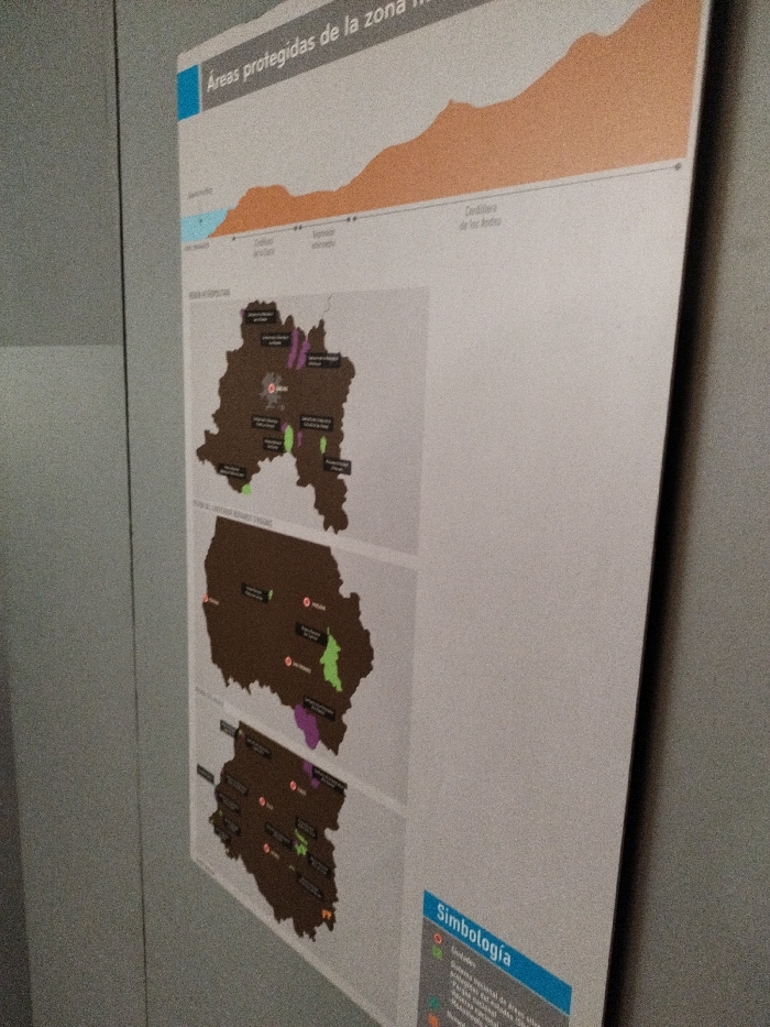
The image captures a large, vertically oriented display board, likely part of an exhibition or informational panel, against a plain grey wall in an indoor setting in Santiago, Chile. No people are visible. The board presents geographical and environmental information. The top section features a title, partially visible as "Áreas protegidas de la zona" (Protected areas of the zone), and an orange-shaded graph, possibly representing elevation or a profile, with the label "Cordillera de los Andes" (Andes Mountains) visible on the right. Below this, the main body of the board displays three maps, stacked vertically, each depicting a region of Chile. The landmasses are colored brown, with various protected areas highlighted in purple and green. Small red circles mark specific locations or cities, with labels such as "Melipilla", "Valdivia", and "Chiloé" discernible. Some protected areas are also labeled, including "Parque Nacional Radal Siete Tazas", "Reserva Nacional Altos de Lircay", and "Los Queules". The bottom right corner of the board contains a "Simbología" (Symbolism/Legend) section. This legend explains the map elements, with visible categories like "Ciudades" (Cities) for the red circles, and "Sistema nacional de áreas" (National system of areas) which further breaks down into "Parques nacionales" (National parks), "Reservas nacionales" (National reserves), and "Monumentos naturales" (Natural monuments). The image is taken from a slightly low, angled perspective, making the display appear to recede into the upper left. The lighting is even, suggesting artificial indoor illumination. The overall impression is that of an educational or interpretive display focused on Chile's protected natural areas.
No transactions found