Stake attention in this memory
informative
navigational
complex
urban
detailed
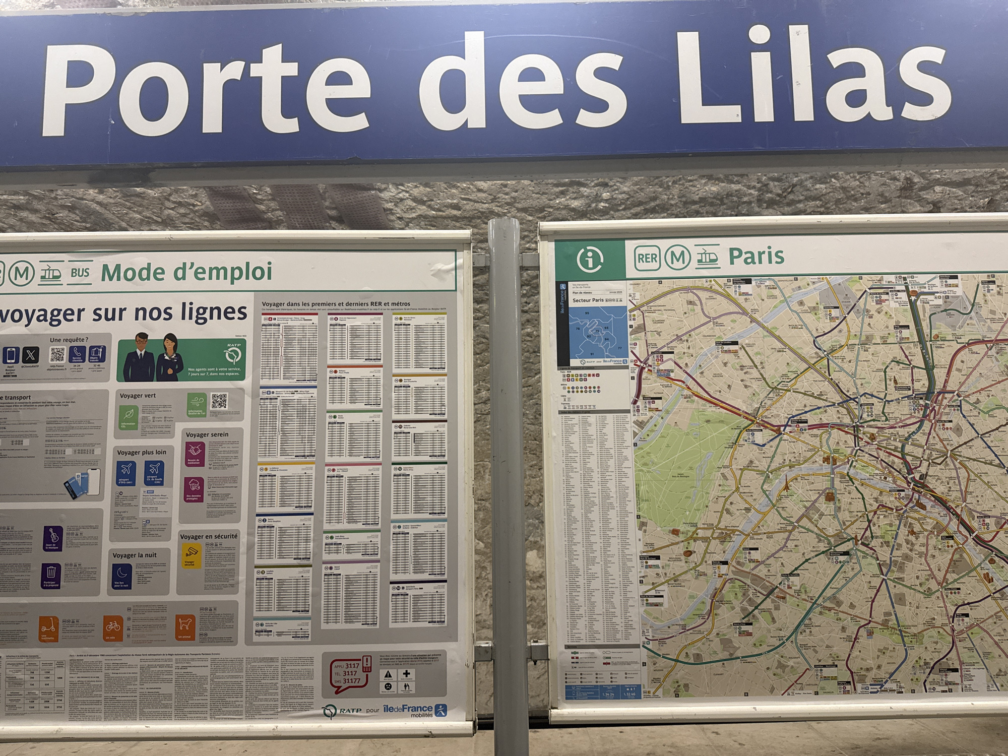
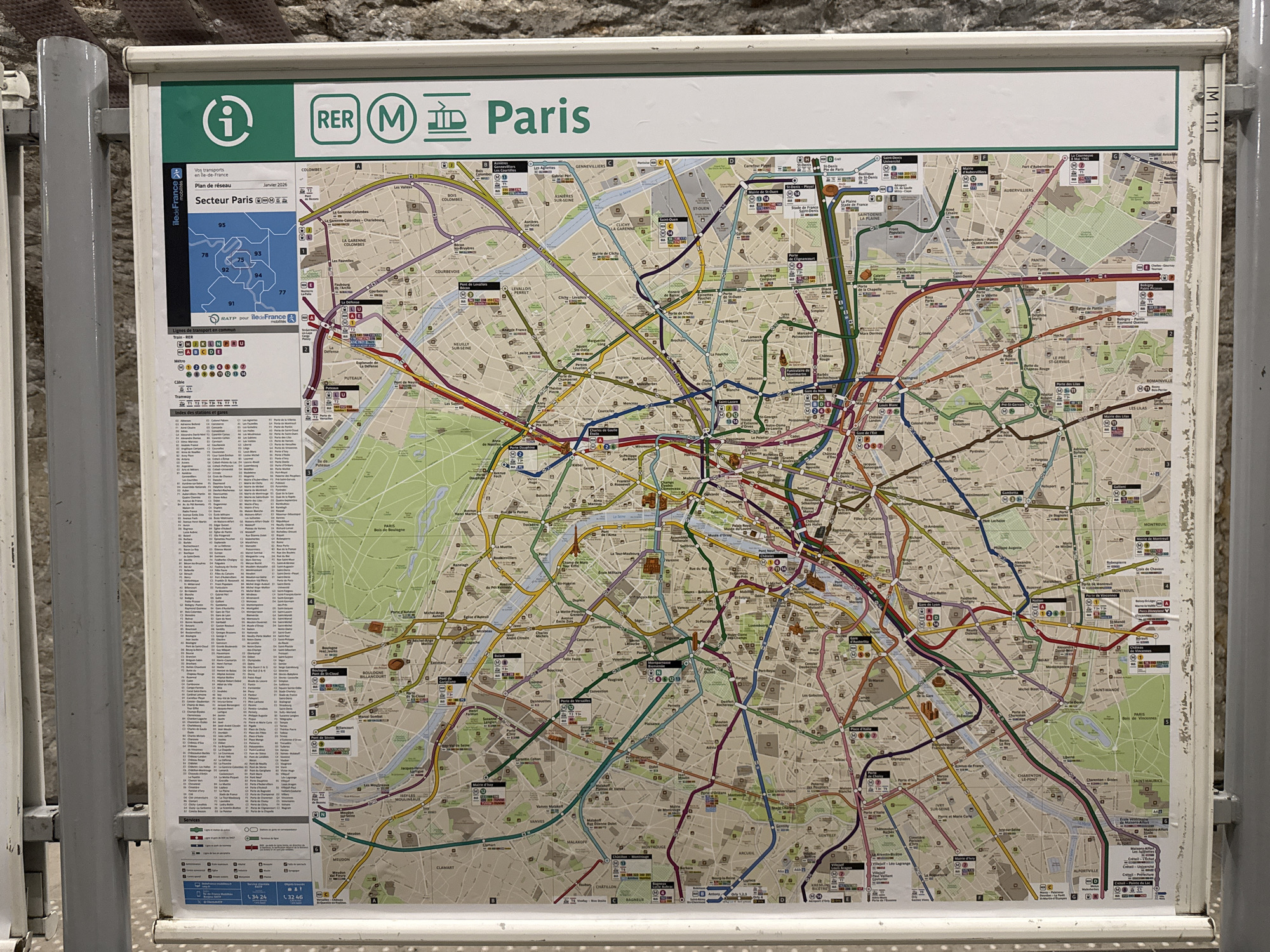
This is a detailed Paris Metro and RER train system map. The map includes the city limits, with marked sectors and train lines. The map is displayed in a frame on a wall, likely in a train station. The map includes icons for the RER, Metro, and tram systems, along with an information symbol. Text on the map identifies it as the “Plan de réseau” (network plan) for January 2026, covering the “Secteur Paris” area.
transactions
revenues
stakers
Earliest
Latest
Highest stake
No transactions found