Sign in
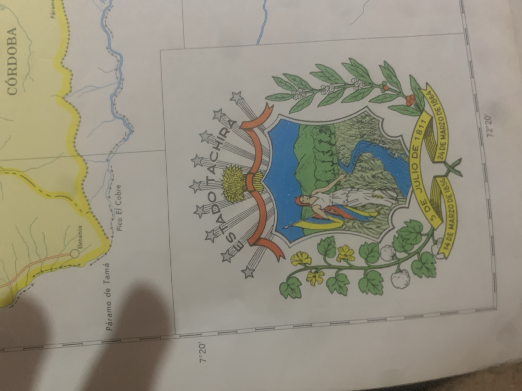
The image shows a section of a map with geographical features and a coat of arms. In the upper portion of the map, the text "CÓRDOBA" is visible. There are labels for "Páramo de Tamá" and "Betania," indicating locations. A river is depicted, and the coordinates "7° 20'" are present on the left side of the map. The central and lower part of the image is dominated by a coat of arms. This coat of arms features a shield with a landscape scene, including a river, mountains, and trees. A woman holding a flag stands within the shield. Surrounding the shield are branches with leaves and berries. Text on ribbons beneath the shield reads "5 DE JULIO DE 1811," "14 DE MARZO DE 1856," and "24 DE MARZO DE 1864." The text "ESTADO TACHIRA" is written above the shield, along with five stars. The coordinate "72° 20'" is visible at the bottom right. Based on the map's details such as "CÓRDOBA" and the coat of arms, this image likely pertains to the state of Táchira in Venezuela. The city of La Tagua is not explicitly mentioned or depicted in this particular image.
bombolico

Jun 25, 2026, 2:31 PM

La Tagua, Venezuela

Stake attention in this memory

patriotic
historical
nostalgic
proud
reverent

The image shows a section of a map with geographical features and a coat of arms. In the upper portion of the map, the text "CÓRDOBA" is visible. There are labels for "Páramo de Tamá" and "Betania," indicating locations. A river is depicted, and the coordinates "7° 20'" are present on the left side of the map. The central and lower part of the image is dominated by a coat of arms. This coat of arms features a shield with a landscape scene, including a river, mountains, and trees. A woman holding a flag stands within the shield. Surrounding the shield are branches with leaves and berries. Text on ribbons beneath the shield reads "5 DE JULIO DE 1811," "14 DE MARZO DE 1856," and "24 DE MARZO DE 1864." The text "ESTADO TACHIRA" is written above the shield, along with five stars. The coordinate "72° 20'" is visible at the bottom right. Based on the map's details such as "CÓRDOBA" and the coat of arms, this image likely pertains to the state of Táchira in Venezuela. The city of La Tagua is not explicitly mentioned or depicted in this particular image.

Loading AttnAds…

transactions
revenues
stakers
Earliest
Latest
Highest stake

No transactions found

More from this user

More from La Tagua

bombolico

Jun 25, 2026, 2:31 PM

La Tagua, Venezuela

Licensed under Creative Commons Attribution 4.0 International License. You are free to share and adapt this content with proper attribution.



