
Sign in
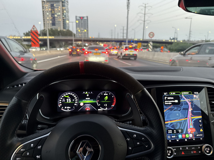
The image is captured from the driver's perspective inside a Renault vehicle, likely a Megane, indicated by the steering wheel design and infotainment system. The black steering wheel, featuring a red stripe at the 12 o'clock position and prominent paddle shifters, is in the immediate foreground. The digital instrument cluster shows a speed of "15" (presumably km/h) and a green leaf icon, suggesting an economy mode. To the right, the vehicle's infotainment screen displays a navigation map, indicating a remaining distance of "3.8 km" and the current time as "19:36". The map identifies "כביש 4" (Highway 4) in Hebrew.

The scene outside the vehicle depicts a multi-lane highway with heavy, slow-moving traffic under an overcast or late evening sky. Numerous cars are visible, most with illuminated red brake lights, indicating congestion. Israeli yellow license plates are discernible on several vehicles. In the mid-ground, a large red and black chevron warning sign is present on the left, and a circular speed limit sign (70 km/h) is visible further down the road. A concrete overpass spans the highway in the distance, with tall utility poles and power lines above it.

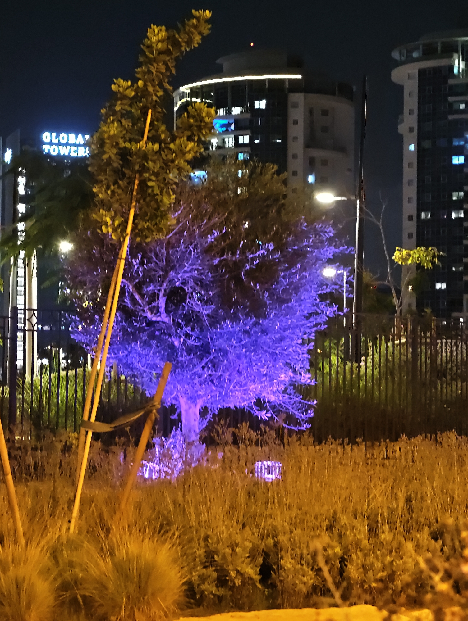
In the background, a cluster of modern high-rise buildings is visible, some with illuminated windows, indicative of an urban environment. This scene is located on Highway 4 (Kvish 4) in Petah Tikva, Israel, specifically near the Geha Interchange (Machleef Geha). The prominent high-rise structures in the background correspond to buildings such as the Beit Europa towers and Global Tower, which are landmarks visible from this section of the highway.
Nadav

Aug 11, 2025, 4:37 PM

Petah Tikva, Israel

Stake attention in this memory

Frustration
Anxiety
Modernity
Claustrophobia
Impatience

The image is captured from the driver's perspective inside a Renault vehicle, likely a Megane, indicated by the steering wheel design and infotainment system. The black steering wheel, featuring a red stripe at the 12 o'clock position and prominent paddle shifters, is in the immediate foreground. The digital instrument cluster shows a speed of "15" (presumably km/h) and a green leaf icon, suggesting an economy mode. To the right, the vehicle's infotainment screen displays a navigation map, indicating a remaining distance of "3.8 km" and the current time as "19:36". The map identifies "כביש 4" (Highway 4) in Hebrew. The scene outside the vehicle depicts a multi-lane highway with heavy, slow-moving traffic under an overcast or late evening sky. Numerous cars are visible, most with illuminated red brake lights, indicating congestion. Israeli yellow license plates are discernible on several vehicles. In the mid-ground, a large red and black chevron warning sign is present on the left, and a circular speed limit sign (70 km/h) is visible further down the road. A concrete overpass spans the highway in the distance, with tall utility poles and power lines above it. In the background, a cluster of modern high-rise buildings is visible, some with illuminated windows, indicative of an urban environment. This scene is located on Highway 4 (Kvish 4) in Petah Tikva, Israel, specifically near the Geha Interchange (Machleef Geha). The prominent high-rise structures in the background correspond to buildings such as the Beit Europa towers and Global Tower, which are landmarks visible from this section of the highway.

Loading AttnAds…

transactions
revenues
stakers
Earliest
Latest
Highest stake

No transactions found

More from this user

More from Petah Tikva

Nadav

Aug 11, 2025, 4:37 PM

Petah Tikva, Israel

Licensed under Creative Commons Attribution 4.0 International License. You are free to share and adapt this content with proper attribution.