
Stake attention in this memory
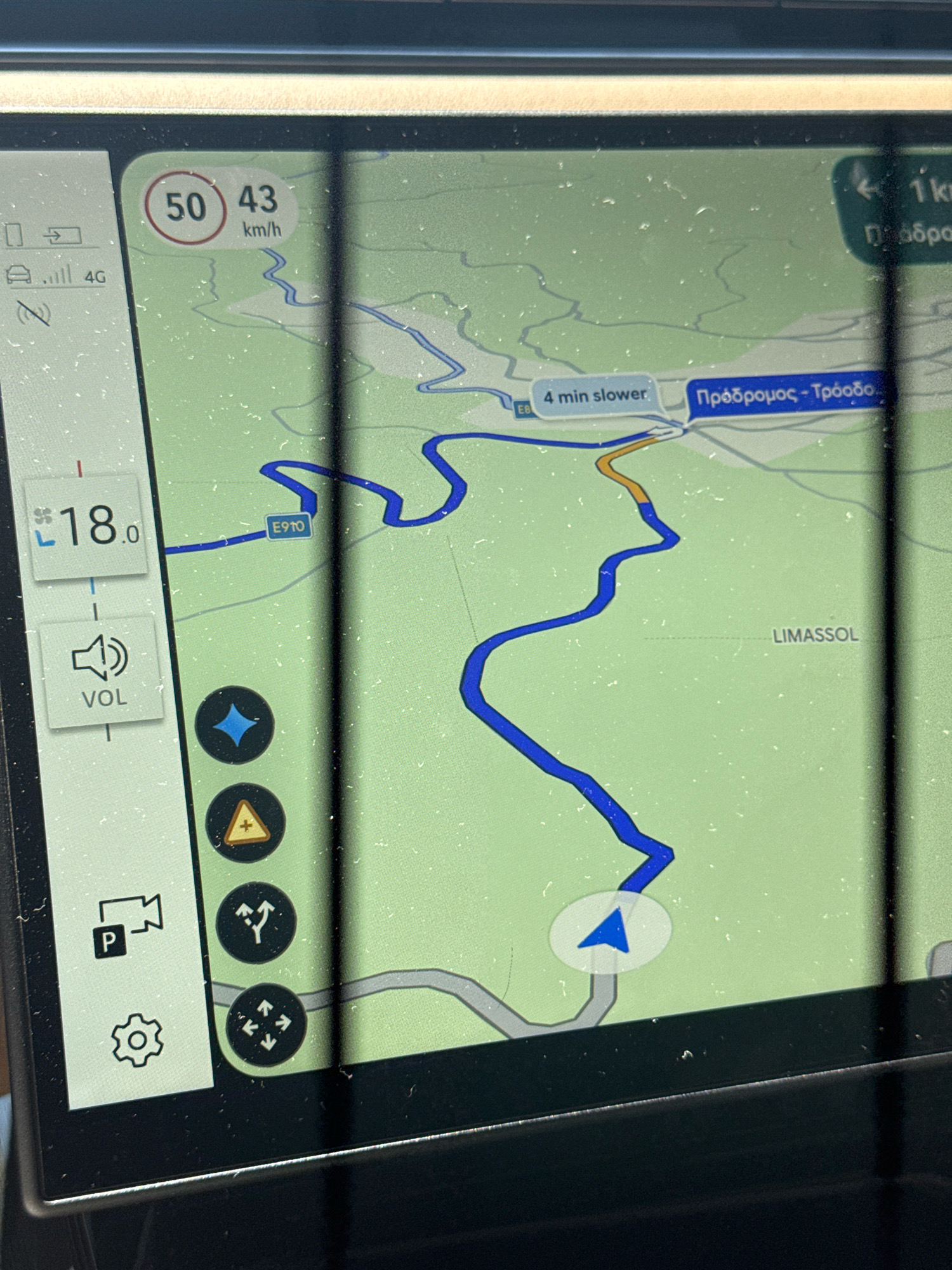
The image shows a car's GPS navigation system displaying a map of a route. The screen indicates a current speed of 43 km/h with a speed limit of 50 km/h. The distance to the destination is not fully visible, but "1 km" is displayed. The destination is identified as "Πρόδρομος - Τρόοδός" (Prodromos - Troodos), and "LIMASSOL" is also visible on the map. A turn is indicated in 4 minutes. On the left side of the screen, the temperature is shown as 18.0 degrees, and a volume control icon is present. Other icons visible include a parking symbol with a camera, a settings gear, a warning triangle, a route branching icon, and a compass. The map shows a blue route winding through a green, mountainous terrain. Vertical black bars, likely reflections or part of the car's interior, obscure portions of the screen. The image is focused on the navigation screen, suggesting it was taken by someone inside the vehicle.
Loading AttnAds…
No transactions found