Stake attention in this memory
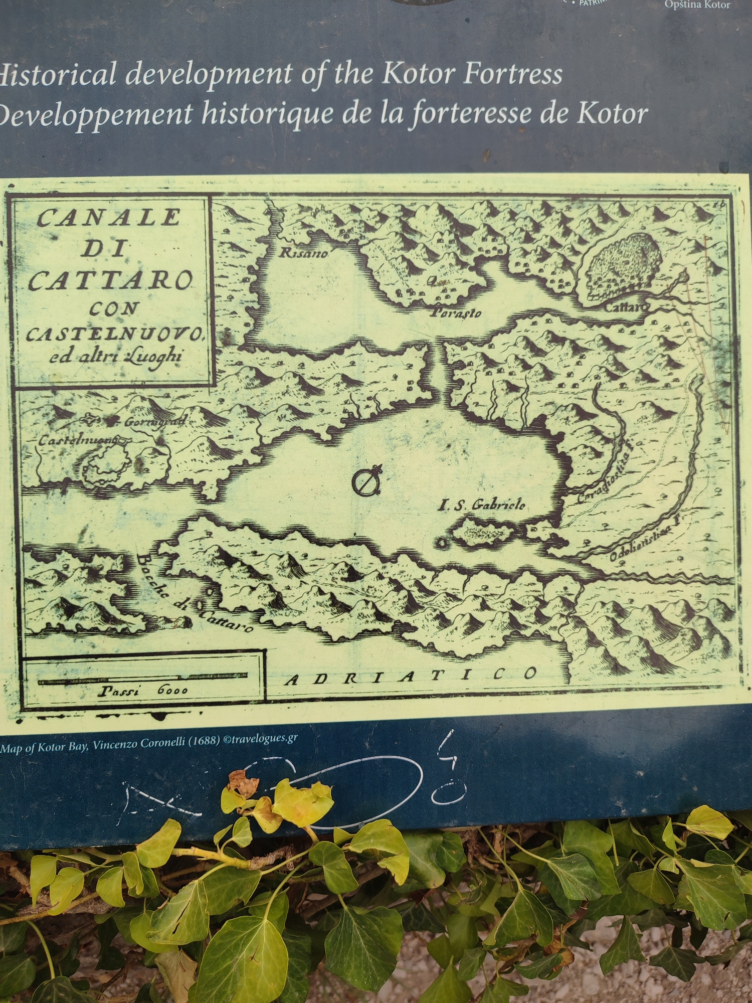
The image shows a historical map of Kotor Bay in Montenegro. The map is old, with a sepia tone and a detailed engraving style. It depicts the bay with its surrounding mountains, islands, and settlements. Text in Italian labels various locations, including "Canale di Cattaro" (Kotor Canal), "Castelnuovo" (Herceg Novi), and "Risano" (Risan). The map is displayed on a dark blue informational panel, likely in an outdoor setting given the ivy in the foreground. The panel also includes text in English and French describing the map's origin: "Map of Kotor Bay, Vincenzo Coronelli (1688) ©travelogues.gr." The English text translates to "Historical development of the Kotor Fortress," and the French text to "Développement historique de la forteresse de Kotor." The overall scene suggests an informative display meant to educate visitors about the history of Kotor and its fortifications.
No transactions found