
Sign in
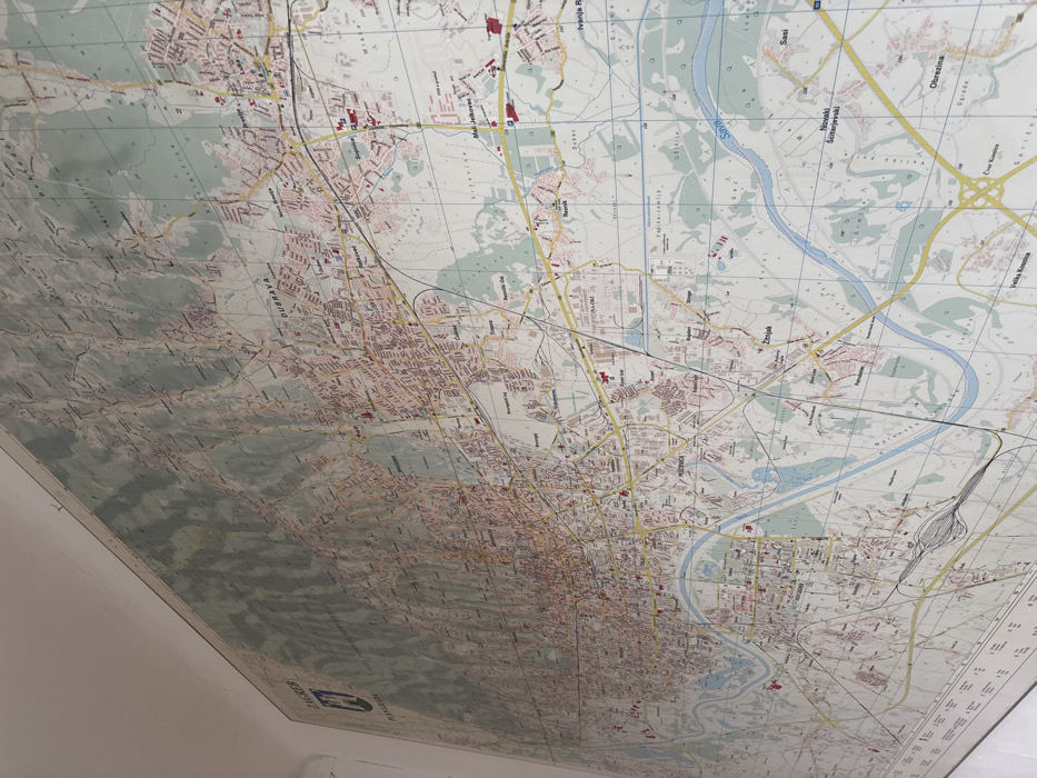
A large, wall-mounted, color-printed map of the City of Zagreb, Croatia, is depicted from an oblique, low-angle perspective. The map illustrates the city's geographical and urban features, including dense residential areas colored in pink, a network of yellow roads, black railway lines, and the prominent Sava River, rendered in blue, traversing horizontally across the lower central portion. Notable districts such as Dubrava, Peščenica, and Maksimir are clearly labeled. A pale grid system overlays the entire map. The map is affixed to a plain white wall. No individuals, actions, or interactions are present in the scene.
Vazda

Feb 11, 2026, 1:49 PM

City of Zagreb, Croatia

Stake attention in this memory

untagged

A large, wall-mounted, color-printed map of the City of Zagreb, Croatia, is depicted from an oblique, low-angle perspective. The map illustrates the city's geographical and urban features, including dense residential areas colored in pink, a network of yellow roads, black railway lines, and the prominent Sava River, rendered in blue, traversing horizontally across the lower central portion. Notable districts such as Dubrava, Peščenica, and Maksimir are clearly labeled. A pale grid system overlays the entire map. The map is affixed to a plain white wall. No individuals, actions, or interactions are present in the scene.

Loading AttnAds…

transactions
revenues
stakers
Earliest
Latest
Highest stake

No transactions found

More from this user

More from City of Zagreb

Vazda

Feb 11, 2026, 1:49 PM

City of Zagreb, Croatia

Licensed under Creative Commons Attribution 4.0 International License. You are free to share and adapt this content with proper attribution.