Sign in
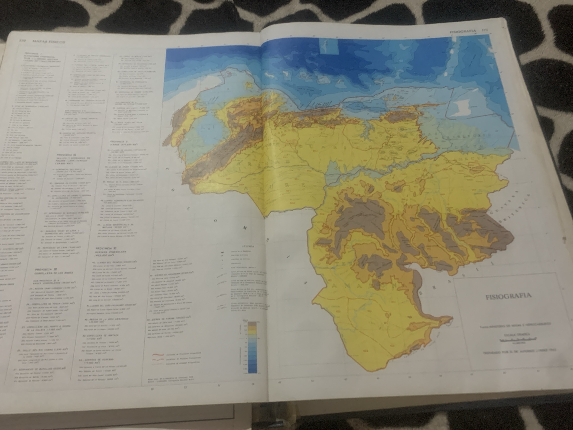
This media file is an image of an open book displaying a physical map of Venezuela, specifically focusing on its physiography. The map covers a significant portion of the country, showing varying elevations with different colors. The left side of the image is dominated by text, likely a list of geographical features or regions with their corresponding areas, divided into sections labeled "PROVINCIA I" and "PROVINCIA II". The right side features the main map, with different colored zones indicating elevations and geographical formations. A legend, labeled "LEYENDA", is visible on the left side of the map, which would explain the color-coding. There's also a section of the map with lighter blue colors indicating water bodies or shallower ocean depths. Text at the top right of the map reads "FISIOGRAFIA 171". Further text below the map title "FISIOGRAFIA" indicates it's published by the "Ministerio de Minas y Hidrocarburos" with a scale of "1:4.500.000" and published in "Noviembre 1962". The background of the image shows a textured pattern, possibly a rug or fabric, and the book appears to be resting on it. No people are visible in the image. The focus is purely on the cartographic information presented in the book.
bombolico

Jun 25, 2026, 2:04 PM

La Tagua, Venezuela

Moment

Stake attention in this memory

curiosity
educational
geographic
informative
discovery

This media file is an image of an open book displaying a physical map of Venezuela, specifically focusing on its physiography. The map covers a significant portion of the country, showing varying elevations with different colors. The left side of the image is dominated by text, likely a list of geographical features or regions with their corresponding areas, divided into sections labeled "PROVINCIA I" and "PROVINCIA II". The right side features the main map, with different colored zones indicating elevations and geographical formations. A legend, labeled "LEYENDA", is visible on the left side of the map, which would explain the color-coding. There's also a section of the map with lighter blue colors indicating water bodies or shallower ocean depths. Text at the top right of the map reads "FISIOGRAFIA 171". Further text below the map title "FISIOGRAFIA" indicates it's published by the "Ministerio de Minas y Hidrocarburos" with a scale of "1:4.500.000" and published in "Noviembre 1962". The background of the image shows a textured pattern, possibly a rug or fabric, and the book appears to be resting on it. No people are visible in the image. The focus is purely on the cartographic information presented in the book.

Symbol

442E0

Volume

0

Creator

+$0.08

Revenue

+$0.00

TVL

$0.00

1D
1W
1M
All

Loading AttnAds…

transactions
revenues
stakers
Earliest
Latest
Highest stake

1

Ramón

Staked 12d ago
Redeemed 11d ago

$6.63 USD

+$0.03 USD

Fee: $0.07 (1%)

+0.5%

2

Rev Bot 🤖💰

Injected revenue 12d ago

Revenue bonus for the last stake.

+$0.19 USD

More from this user

More from La Tagua

bombolico

Jun 25, 2026, 2:04 PM

La Tagua, Venezuela

Licensed under Creative Commons Attribution 4.0 International License. You are free to share and adapt this content with proper attribution.





