
Sign in
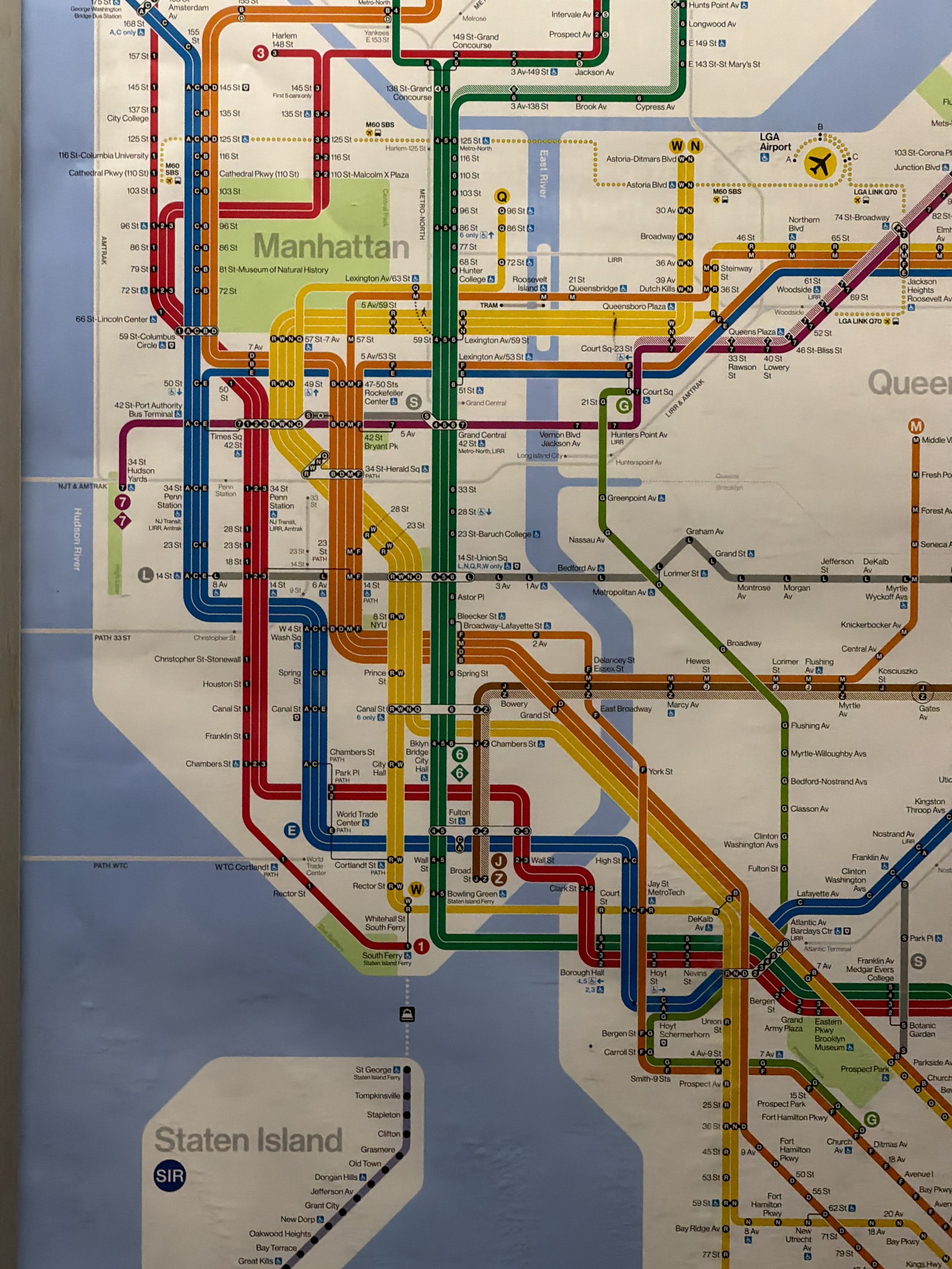
The image is a partial view of a New York City Subway map. It shows the layout of subway lines in Manhattan, Queens, and Staten Island. The map uses color-coded lines to represent different subway routes. Station names are marked along the lines. Key landmarks, such as Manhattan and Staten Island, are labeled. The map is oriented to show the geographical layout of the subway system in relation to the city boroughs.
@chiosphoto

Apr 3, 2026, 12:32 AM

New York, USA

Stake attention in this memory

Confusion
Complexity
Nostalgia
Anxiety
Order

The image is a partial view of a New York City Subway map. It shows the layout of subway lines in Manhattan, Queens, and Staten Island. The map uses color-coded lines to represent different subway routes. Station names are marked along the lines. Key landmarks, such as Manhattan and Staten Island, are labeled. The map is oriented to show the geographical layout of the subway system in relation to the city boroughs.

Loading AttnAds…

transactions
revenues
stakers
Earliest
Latest
Highest stake

No transactions found

More from this user

More from New York

@chiosphoto

Apr 3, 2026, 12:32 AM

New York, USA

Licensed under Creative Commons Attribution 4.0 International License. You are free to share and adapt this content with proper attribution.