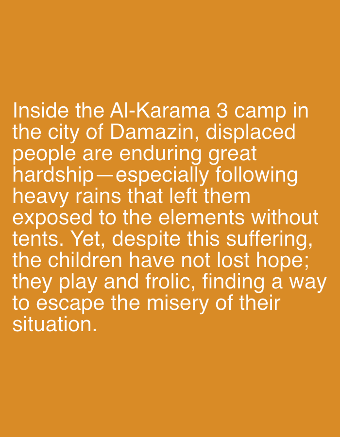
Stake attention in this memory
empty
lonely
abandoned
forgotten
desolate
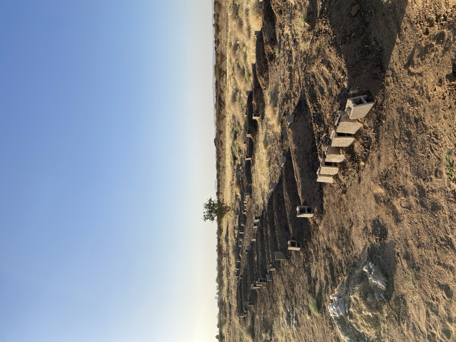
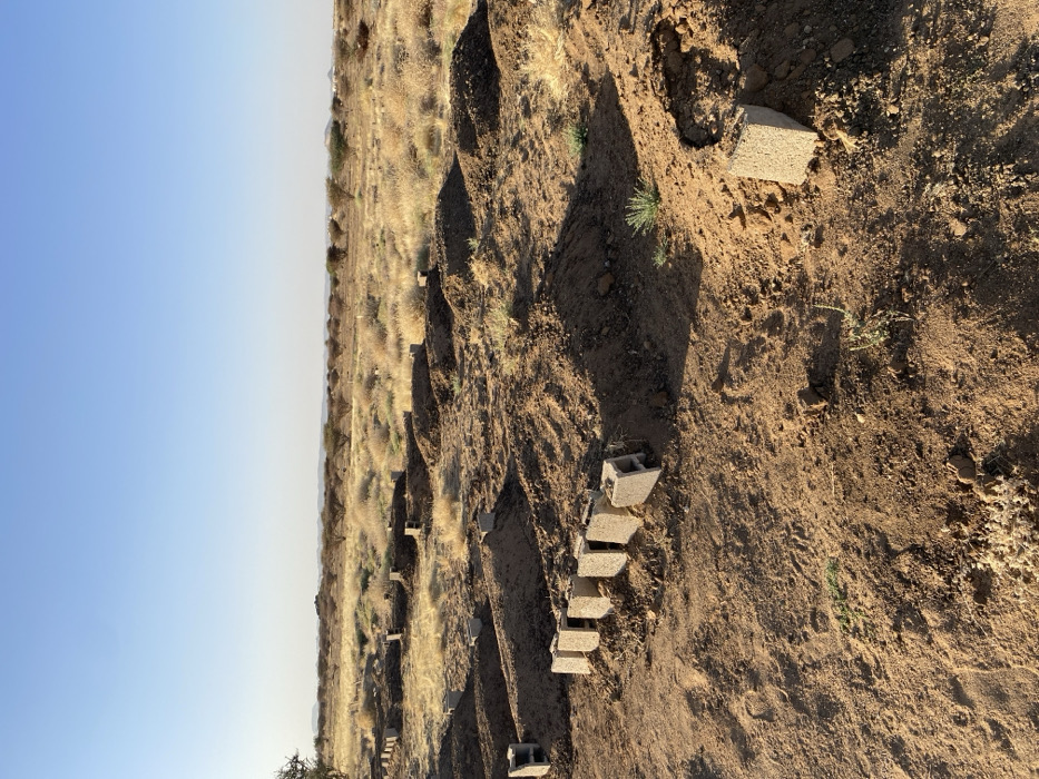
The image shows a dirt field in Hillat ed Dareisa, Sudan (latitude: 16.141, longitude: 32.65). There is a line of cinder blocks in the lower right-hand portion of the image. There are tufts of dry grass and a few small trees in the background. The sky is a bright blue, with a hint of haze toward the horizon. The image is taken from a low angle, looking up towards the horizon. The dirt field appears to be a construction site, with the cinder blocks possibly being used as a foundation for a structure. The image captures a sense of aridity and sparseness, characteristic of the Sudanese landscape.
transactions
revenues
stakers
Earliest
Latest
Highest stake
No transactions found