Stake attention in this memory
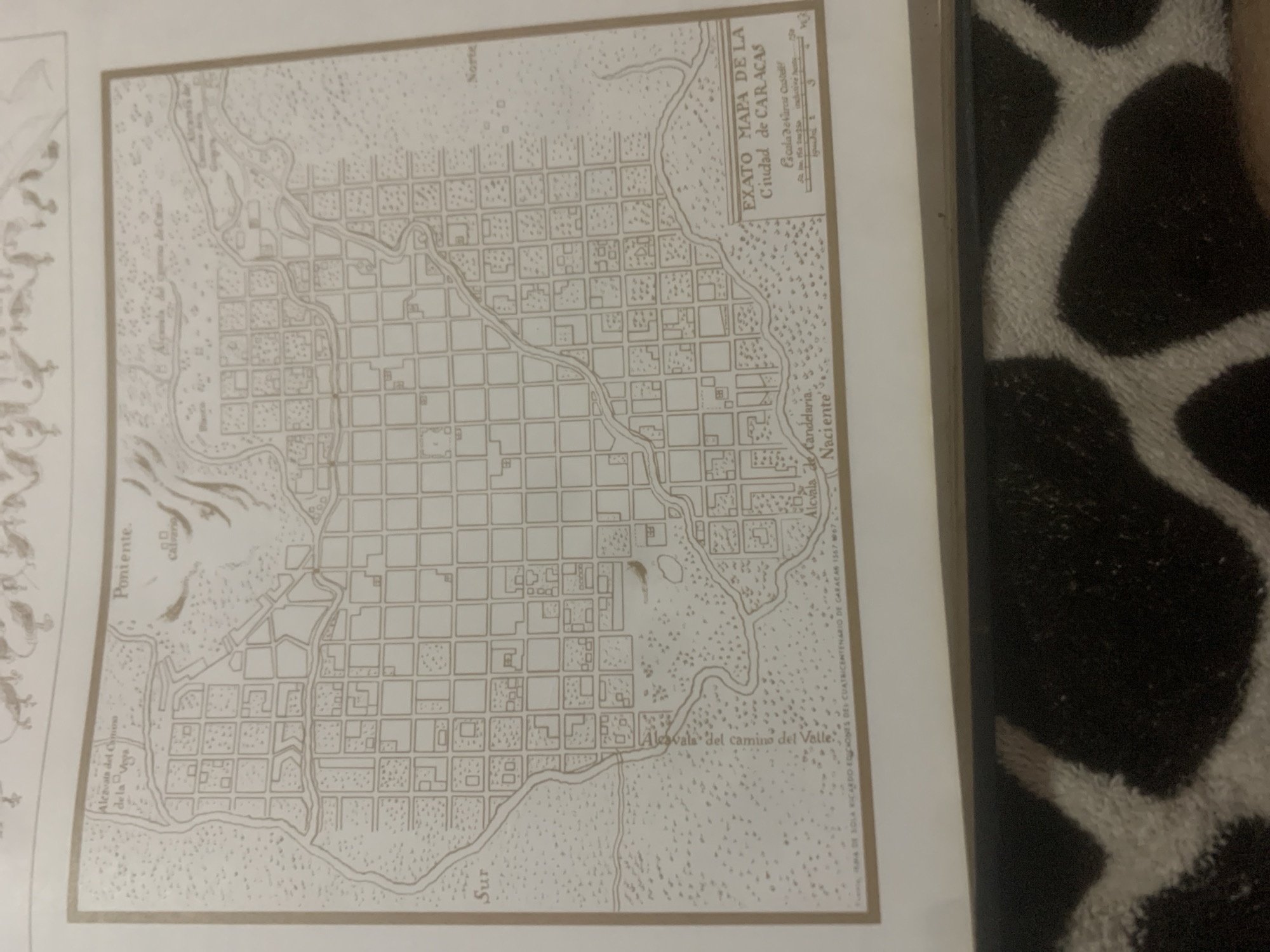
This is a photograph of an old, sepia-toned map of Caracas, Venezuela. The map depicts a grid of city streets, surrounded by a more natural landscape with rivers and hills. There are also some stylized drawings of plants and animals on the left side of the map, suggesting a historical or scientific illustration. The title of the map, clearly visible in the upper right quadrant, reads "EXATO MAPA DE LA Ciudad de CARACAS." Below this, there is a scale indicated as "Escala de Varás Castellanas," with numerical markers suggesting distances. The map is oriented with "Norte" (North) indicated at the top. Several place names are written on the map, including "Poniente" (West), "Sur" (South), "Naciente" (East), "Alcávala del Camino de la Vega," and "Alcávala del camino del Valle." The map is framed by a border. The photograph itself is taken from a slightly elevated angle, with a portion of a fuzzy, black and white patterned textile visible in the right foreground, suggesting the map is laid out on a surface. The lighting appears to be from above, casting no significant shadows on the map itself. The overall impression is that of a historical document being displayed or examined.
Symbol
454AB
Volume
11,550
Creator
+$0.14
Revenue
+$0.19
TVL
$11.57
2
Rev Bot 🤖💰
Injected revenue 6d ago
“Revenue bonus for the last stake.”
+$0.21 USD


