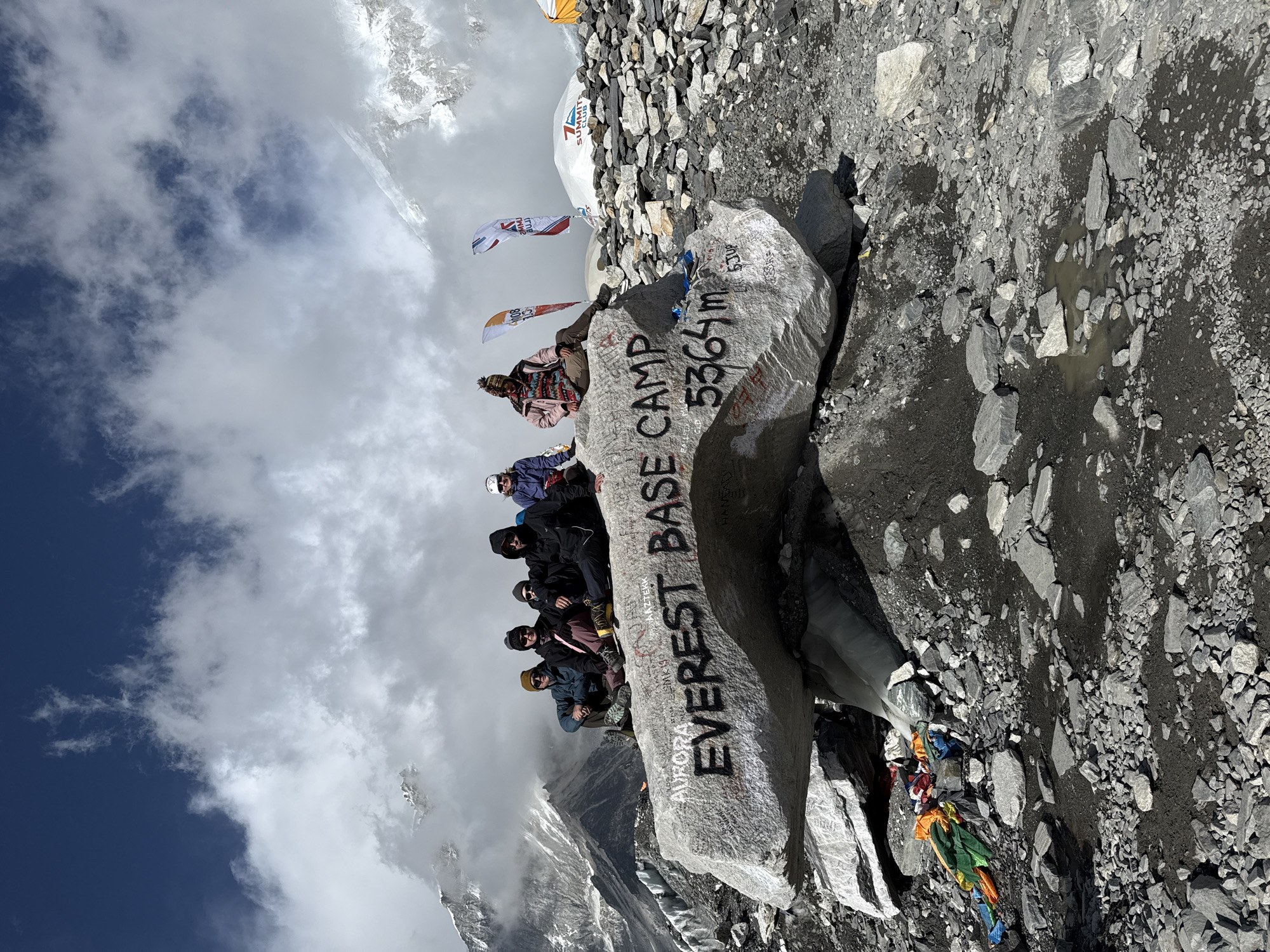
Stake attention in this memory
adventure
exploration
anticipation
awe
challenge
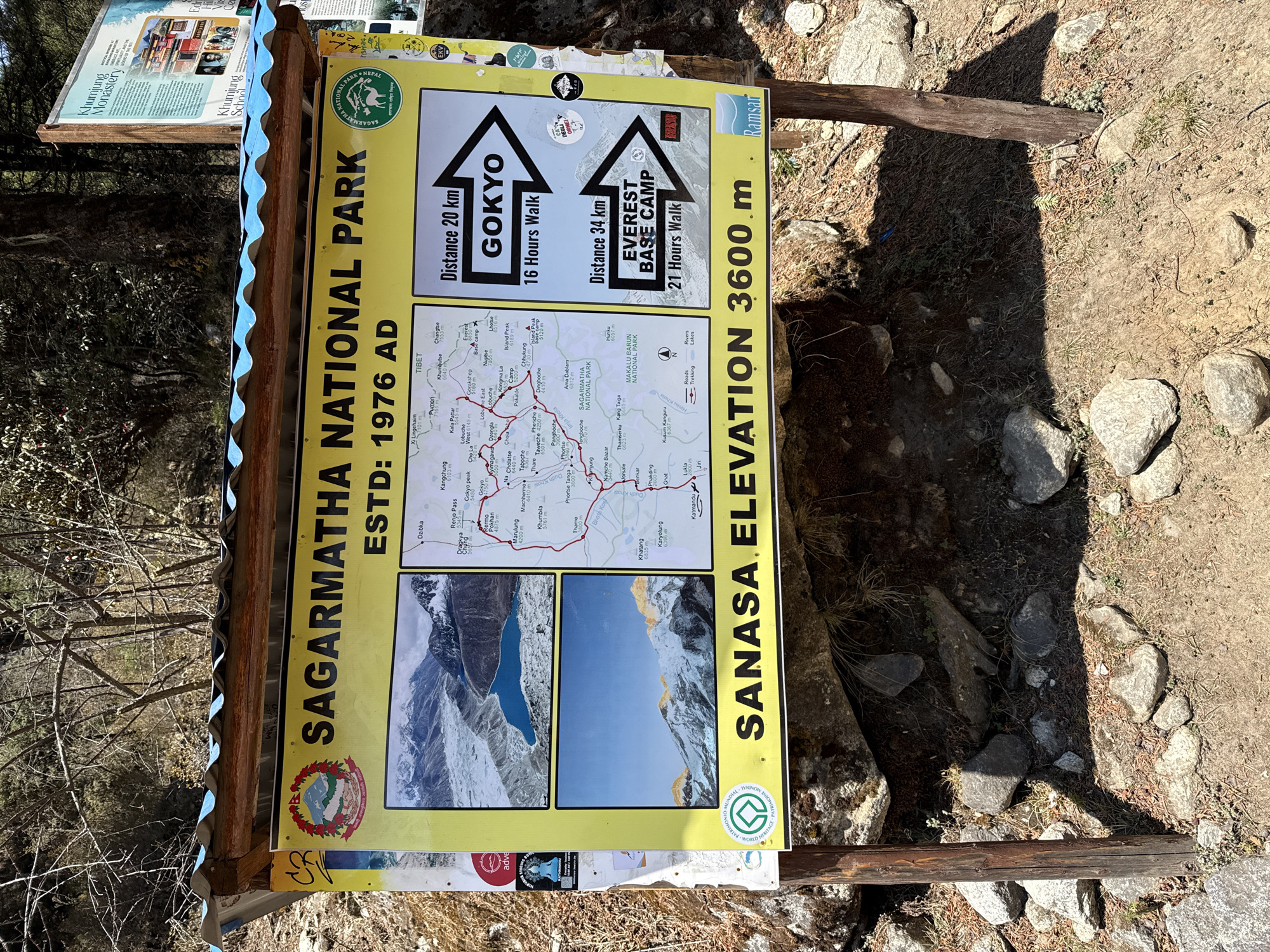
The image shows a sign at Sanasa, at an elevation of 3600 meters, within the Sagarmatha National Park, Nepal, near Khumjung. The sign's primary purpose is to provide information about trekking routes to Gokyo and Everest Base Camp, detailing distances (20 km and 34 km respectively) and estimated walking times (16 hours and 21 hours respectively). The sign also includes a map of the region with marked routes, rivers, lakes and roads. The sign has additional details like the establishment date of the park (1976 AD), a diagram of a mountain lake and mountain in the background and branding for UNESCO world heritage.
transactions
revenues
stakers
Earliest
Latest
Highest stake
No transactions found