
Stake attention in this memory
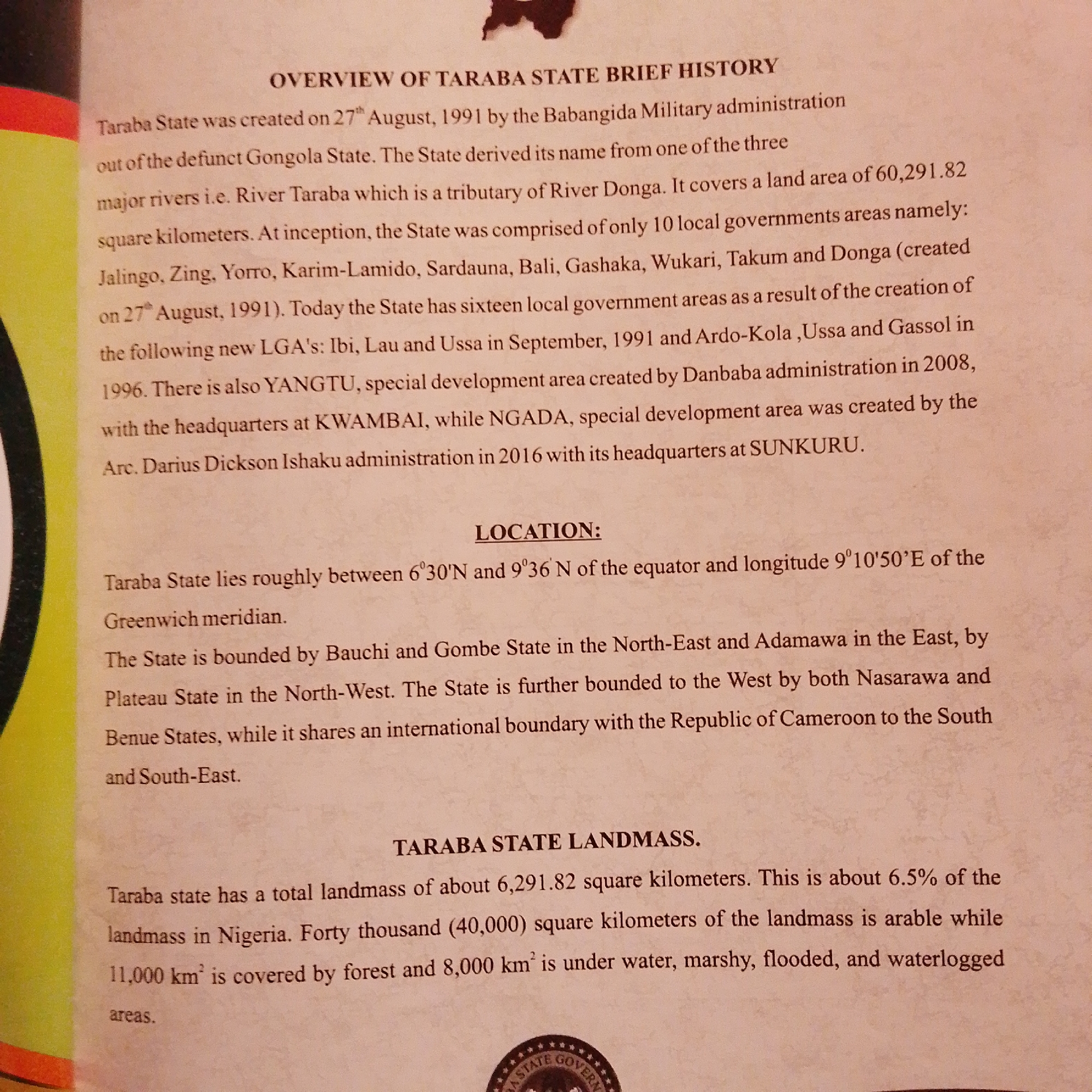
The image displays a document with text detailing the history, location, and landmass of Taraba State, Nigeria. The text is arranged in paragraphs with headings. The "OVERVIEW OF TARABA STATE BRIEF HISTORY" section describes the creation of the state on August 27, 1991, its derivation from Gongola State, and its major rivers. It lists initial local government areas and later additions. The "LOCATION" section specifies Taraba State's geographical coordinates relative to the equator and prime meridian, and its neighboring states (Bauchi, Gombe, Plateau, Nasarawa, Benue) and the Republic of Cameroon. The "TARABA STATE LANDMASS" section provides information on the total landmass, its percentage of Nigeria's landmass, and the breakdown of land types, including arable land, forest, water, marshy, flooded, and waterlogged areas. The image appears to be a photograph of a printed document, possibly a factual report or an informational pamphlet. The background has a textured, off-white color.
Symbol
46F0C
Volume
3,049
Creator
+$0.00
Revenue
+$0.01
TVL
$0.23
Loading AttnAds…

2

Rev Bot 🤖💰
Injected revenue 1mo ago
“Revenue bonus for the last stake.”
+$0.01 USD